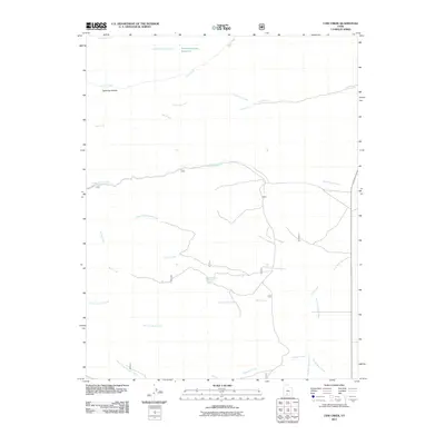
2011 Map of Cow Creek
USGS Topo · Published 2011About this map
The East Fork Sevier River flows through the southeastern portion of this Garfield County landscape, highlighting a region defined by its intricate drainage systems and water sources. Water management and natural springs are central to this area, evidenced by features such as Mountain Spring Reservoir, Mountain Spring, and Beebe Spring. The map documents a network of seasonal and perennial waterways including Cottonwood Creek and its tributary, Little Cottonwood Creek, which carve through the high-elevation terrain. This 2011 survey captures the hydrological character of the plateau before modern drought cycles and management changes further altered the flow of Cow Creek and Cherry Creek. Topographic details like Lightning Hollow and the Dry Fork Rock Creek provide essential context for those studying the physical geography and livestock history of this part of Utah.
Find a feature on this map
17 named features on this map. Tap any name to fly to it.
Don’t see what you’re looking for? This feature index may not catch every label — zoom into the map to look around manually.
Map Details
Editions of this 2011 Cow Creek Map
This is the sole edition of this map. No revisions or reprints were ever made.
Other maps of this area

1885 · Beaver
USGS Topo · 1:250,000

1885 · Fish Lake
USGS Topo · 1:250,000

1886 · Kanab
USGS Topo · 1:250,000

1886 · Escalante
USGS Topo · 1:250,000

1896 · Fish Lake
USGS Topo · 1:250,000

1953 · Richfield
USGS Topo · 1:250,000

1953 · Cedar City
USGS Topo · 1:250,000

1956 · Escalante
USGS Topo · 1:250,000

1956 · Salina
USGS Topo · 1:250,000

1958 · Richfield
USGS Topo · 1:250,000