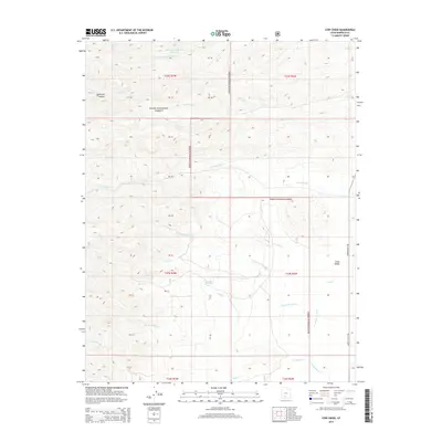
2014 Map of Cow Creek
USGS Topo · Published 2014About this map
Dixie National Forest dominates this high-elevation landscape in Garfield County, where a complex network of canyons and drainages defines the local geography. The eastern edge of the map is marked by the relatively flat terrain of Johns Valley, a notable geological feature that stands in contrast to the surrounding ridges. Water management and natural springs are central to this area's utility, evidenced by the Mountain Spring Fork Reservoir in the north and Beebe Spring further south.
Find a feature on this map
35 named features on this map. Tap any name to fly to it.
Don’t see what you’re looking for? This feature index may not catch every label — zoom into the map to look around manually.
Map Details
Editions of this 2014 Cow Creek Map
This is the sole edition of this map. No revisions or reprints were ever made.
Other maps of this area

1885 · Beaver
USGS Topo · 1:250,000

1885 · Fish Lake
USGS Topo · 1:250,000

1886 · Kanab
USGS Topo · 1:250,000

1886 · Escalante
USGS Topo · 1:250,000

1896 · Fish Lake
USGS Topo · 1:250,000

1953 · Richfield
USGS Topo · 1:250,000

1953 · Cedar City
USGS Topo · 1:250,000

1956 · Escalante
USGS Topo · 1:250,000

1956 · Salina
USGS Topo · 1:250,000

1958 · Richfield
USGS Topo · 1:250,000