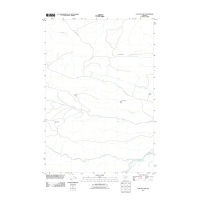
2011 Map of Cow Face Hill
USGS Topo · Published 2011About this map
The Stillwater River and its southern tributaries define this portion of Sweet Grass County, where the plains meet the rising Montana terrain. The landscape is marked by historical transit corridors, most notably the Bozeman Trl cutting through the northwestern corner, a route once vital for emigrant travel. To the south, the Trout Creek Trl follows the path of Trout Creek, providing a parallel record of early backcountry access near the river's edge.
Find a feature on this map
20 named features on this map. Tap any name to fly to it.
Don’t see what you’re looking for? This feature index may not catch every label — zoom into the map to look around manually.
Map Details
Editions of this 2011 Cow Face Hill Map
This is the sole edition of this map. No revisions or reprints were ever made.
Other maps of this area

1891 · Big Timber
USGS Topo · 1:125,000

1893 · Big Timber
USGS Topo · 1:125,000

1898 · Granite Mountain District
USGS Topo · 1:125,000

1932 · Nye No 1
USGS Topo · 1:48,000

1932 · Nye No 2
USGS Topo · 1:48,000

1939 · Mt Wood
USGS Topo · 1:62,500

1941 · Mt. Wood
USGS Topo · 1:62,500

1954 · Billings
USGS Topo · 1:250,000

1955 · Packsaddle Butte
USGS Topo · 1:24,000

1955 · Sandborn Creek
USGS Topo · 1:24,000