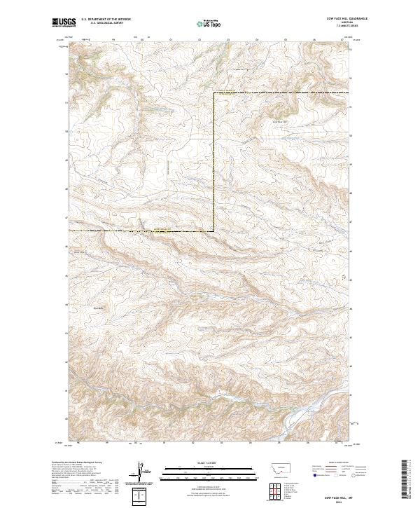
2024 Map of Cow Face Hill
USGS Topo · Published 2024About this map
The boundary between Sweet Grass and Stillwater counties cuts across this terrain, where high points like Cow Face Hill and Mud Butte overlook a complex network of draws and creeks. The landscape is defined by its drainages, with East Bridger Creek and Cow Creek carving paths through the northern sections while Spring Creek and Trout Creek flow toward the southern valley. This 2024 map documents the modern irrigation and water management of the region, anchored by the Stillwater River and the Stillwater Ditch in the southeast corner.
Find a feature on this map
27 named features on this map. Tap any name to fly to it.
Don’t see what you’re looking for? This feature index may not catch every label — zoom into the map to look around manually.
Map Details
Editions of this 2024 Cow Face Hill Map
This is the sole edition of this map. No revisions or reprints were ever made.
Other maps of this area

1891 · Big Timber
USGS Topo · 1:125,000

1893 · Big Timber
USGS Topo · 1:125,000

1898 · Granite Mountain District
USGS Topo · 1:125,000

1932 · Nye No 1
USGS Topo · 1:48,000

1932 · Nye No 2
USGS Topo · 1:48,000

1939 · Mt Wood
USGS Topo · 1:62,500

1941 · Mt. Wood
USGS Topo · 1:62,500

1954 · Billings
USGS Topo · 1:250,000

1955 · Packsaddle Butte
USGS Topo · 1:24,000

1955 · Sandborn Creek
USGS Topo · 1:24,000