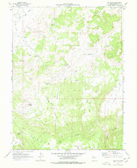
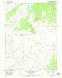
1969 Map of Cow Flats
USGS Topo · Published 1978About this map
Cleveland Lloyd Dinosaur Quarry and its associated Visitor Center anchor the central portion of this 1969 Emery County study. The landscape is defined by the high, plateau-like expanse of Cedar Mountain to the south and the shifting drainages of Cottonwood Wash and Seep Wash to the north. A primitive network of Jeep Trails provides the primary access through this arid terrain, connecting isolated water sources vital to local ranching and exploration.
Find a feature on this map
30 named features on this map. Tap any name to fly to it.
Don’t see what you’re looking for? This feature index may not catch every label — zoom into the map to look around manually.
Map Details
Editions of this 1969 Cow Flats Map
2 editions found
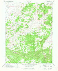
Other maps of this area

1886 · Price River
USGS Topo · 1:250,000

1896 · Price River
USGS Topo · 1:250,000

1956 · Price
USGS Topo · 1:250,000

1960 · Price
USGS Topo · 1:250,000

1962 · Price
USGS Topo · 1:250,000

1969 · Olsen Reservoir
USGS Topo · 1:24,000
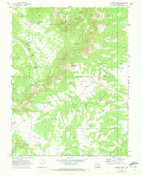
1969 · Chimney Rock
USGS Topo · 1:24,000
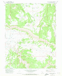
1969 · Bob Hill Knoll
USGS Topo · 1:24,000
1969 · Buckhorn Reservoir
USGS Topo · 1:24,000

1969 · Elmo
USGS Topo · 1:24,000