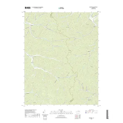
2019 Map of Cowcreek
USGS Topo · Published 2019About this map
The Middle Fork Kentucky River cuts through the northeastern corner of this Breathitt County landscape, where the communities of Turkey and Houston are located. The area is defined by a dense network of creek valleys and hollows, such as Halcomb Hollow and Pigpen Hollow, which have historically dictated the placement of settlements and roads. The map reveals a pattern of rural life clustered along these waterways, including the small hamlets of Lerose, Cowcreek, and Ricetown. For family historians, numerous small burial grounds are documented throughout the hills, such as Noble Cem and Callahan Cem. At the southern edge, the settlement of Morris Fork sits near the confluence of Ingol Fork and its namesake stream, illustrating the enduring relationship between the topography and the inhabitants of this Appalachian region.
Find a feature on this map
98 named features on this map. Tap any name to fly to it.
Don’t see what you’re looking for? This feature index may not catch every label — zoom into the map to look around manually.
Map Details
Editions of this 2019 Cowcreek Map
This is the sole edition of this map. No revisions or reprints were ever made.
Other maps of this area

1889 · Salyersville
USGS Topo · 1:125,000

1891 · Manchester
USGS Topo · 1:125,000

1891 · Hazard
USGS Topo · 1:125,000

1891 · Salyersville
USGS Topo · 1:125,000

1892 · Beattyville
USGS Topo · 1:125,000

1899 · Salyersville
USGS Topo · 1:125,000

1913 · Buckhorn
USGS Topo · 1:62,500

1951 · Jackson
USGS Topo · 1:24,000

1952 · Tallega
USGS Topo · 1:24,000

1952 · Beattyville
USGS Topo · 1:24,000