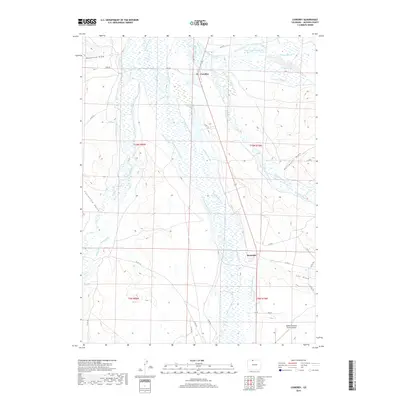
2019 Map of Cowdrey
USGS Topo · Published 2019About this map
The confluence of high-altitude waterways and agricultural irrigation systems defines this Jackson County landscape. Near the settlement of Cowdrey, the Michigan River and Canadian River flow through a valley intricately carved by historic water rights. A dense network of man-made channels, including the Give-A-Dam-Jones Ditch, Seneca Ditch, and Pioneer Ditch, underscores the importance of water management in this arid ranching region. The Carlstrom Reservoir serves as a central catchment point north of the hamlet of Brownlee. To the south, the Walden-Jackson County Airport provides a modern transportation link, while the winding North Platte River marks the western edge of this basin. Further into the valley, features like Crystal Spring Cr and Mansfield Draw illustrate the natural drainage patterns that have shaped land use and property boundaries since the early surveying of these townships.
Find a feature on this map
54 named features on this map. Tap any name to fly to it.
Don’t see what you’re looking for? This feature index may not catch every label — zoom into the map to look around manually.
Map Details
Editions of this 2019 Cowdrey Map
This is the sole edition of this map. No revisions or reprints were ever made.
Other maps of this area
1950 · Northgate
USGS Topo · 1:24,000
1950 · Kings Canyon
USGS Topo · 1:24,000
1952 · Northgate
USGS Topo · 1:24,000
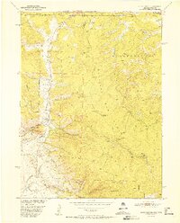
1952 · Kings Canyon
USGS Topo · 1:24,000

1954 · Craig
USGS Topo · 1:250,000
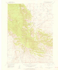
1955 · Independence Mountain
USGS Topo · 1:24,000
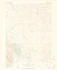
1955 · Lake John
USGS Topo · 1:24,000
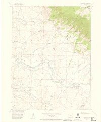
1955 · Eagle Hill
USGS Topo · 1:24,000
1955 · Delaney Butte
USGS Topo · 1:24,000
1955 · Gould NW
USGS Topo · 1:24,000