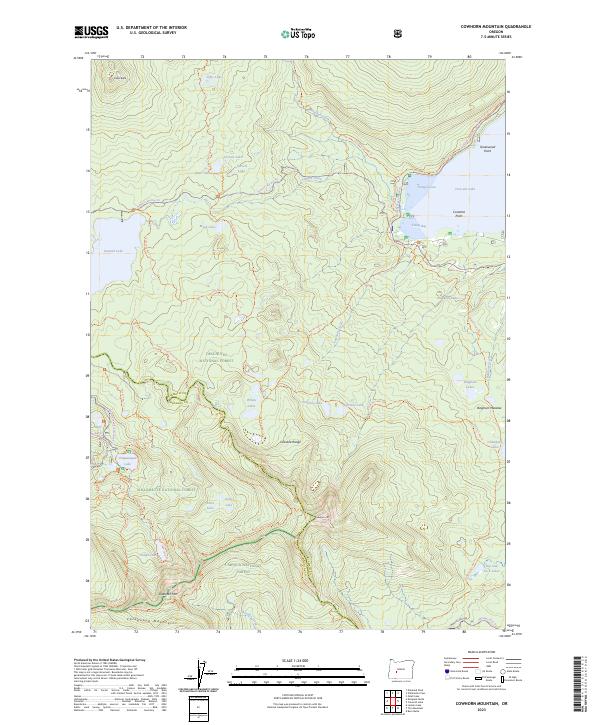
2023 Map of Cowhorn Mountain
USGS Topo · Published 2023About this map
The high Cascade Range intersection of the Deschutes National Forest, Willamette National Forest, and Umpqua National Forest defines this high-altitude landscape. This map captures the headwaters and drainage divides of the central Cascades, where the Calapooya Mountains branch westward from the main range. Significant water bodies like the sprawling Crescent Lake, with its Tranquil Cove and Tandy Bay, contrast with high-elevation alpine basins holding Summit Lake, Timpanogas Lake, and the remote Nip and Tuck Lakes.
Find a feature on this map
72 named features on this map. Tap any name to fly to it.
Don’t see what you’re looking for? This feature index may not catch every label — zoom into the map to look around manually.
Map Details
Editions of this 2023 Cowhorn Mountain Map
This is the sole edition of this map. No revisions or reprints were ever made.
Other maps of this area

1917 · Diamond Lake
USGS Topo · 1:125,000

1925 · Waldo Lake
USGS Topo · 1:125,000

1930 · Maiden Peak
USGS Topo · 1:125,000

1934 · Maiden Peak
USGS Topo · 1:125,000

1935 · Chemult
USGS Topo · 1:96,000

1941 · Chemult
USGS Topo · 1:125,000

1955 · Crescent
USGS Topo · 1:250,000

1956 · Waldo Lake
USGS Topo · 1:62,500

1956 · Summit Lake
USGS Topo · 1:62,500

1957 · Crescent
USGS Topo · 1:250,000