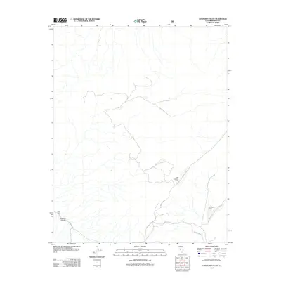
2012 Map of Cowhorn Valley
USGS Topo · Published 2012About this map
Cowhorn Valley and Little Cowhorn Valley define the high desert topography of this Inyo County landscape as it appeared in 2012. The area is characterized by dramatic elevation changes and dry drainage patterns, most notably through Deadman Canyon and the prominent pass at Devils Gate. Human presence is marked primarily by rugged transport routes that follow the natural contours of the terrain. The network includes the long-stretching Death Valley Rd and the junction of Waucoba Saline Rd with Waucoba Rd. This U.S. Geological Survey provides a detailed record of the drainage systems and primitive roads that cross this part of California, offering a precise look at the geography before further environmental or infrastructural changes occurred.
Find a feature on this map
7 named features on this map. Tap any name to fly to it.
Don’t see what you’re looking for? This feature index may not catch every label — zoom into the map to look around manually.
Map Details
Editions of this 2012 Cowhorn Valley Map
This is the sole edition of this map. No revisions or reprints were ever made.
Other maps of this area

1908 · Lida
USGS Topo · 1:250,000

1913 · Bishop
USGS Topo · 1:125,000

1913 · Lida
USGS Topo · 1:250,000

1947 · Mariposa
USGS Topo · 1:250,000

1948 · Mariposa
USGS Topo · 1:250,000

1951 · Blanco Mountain
USGS Topo · 1:62,500

1951 · Waucoba Mtn.
USGS Topo · 1:62,500

1954 · Goldfield
USGS Topo · 1:250,000

1955 · Goldfield
USGS Topo · 1:250,000

1957 · Mariposa
USGS Topo · 1:250,000