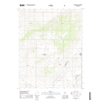
2018 Map of Cowhorn Valley
USGS Topo · Published 2018About this map
Inyo National Forest and Death Valley National Park meet in this high-desert landscape of Inyo County. The terrain is defined by the high-elevation depressions of Little Cowhorn Valley and Cowhorn Valley, which sit amidst a network of ridgelines and steep contours. This 2018 survey reveals a landscape of transition where remote desert valleys are accessed by a limited network of backcountry tracks. The most prominent route, Death Valley Road, traverses the southern portion of the map, while Loretta Mine Rd and Waucoba Road provide access to the area's interior and historical mining districts. The map documents the precise boundaries of federal land management at a time when these protected wilderness areas continue to balance conservation with historical access routes.
Find a feature on this map
11 named features on this map. Tap any name to fly to it.
Don’t see what you’re looking for? This feature index may not catch every label — zoom into the map to look around manually.
Map Details
Editions of this 2018 Cowhorn Valley Map
This is the sole edition of this map. No revisions or reprints were ever made.
Other maps of this area

1908 · Lida
USGS Topo · 1:250,000

1913 · Bishop
USGS Topo · 1:125,000

1913 · Lida
USGS Topo · 1:250,000

1947 · Mariposa
USGS Topo · 1:250,000

1948 · Mariposa
USGS Topo · 1:250,000

1951 · Blanco Mountain
USGS Topo · 1:62,500

1951 · Waucoba Mtn.
USGS Topo · 1:62,500

1954 · Goldfield
USGS Topo · 1:250,000

1955 · Goldfield
USGS Topo · 1:250,000

1957 · Mariposa
USGS Topo · 1:250,000