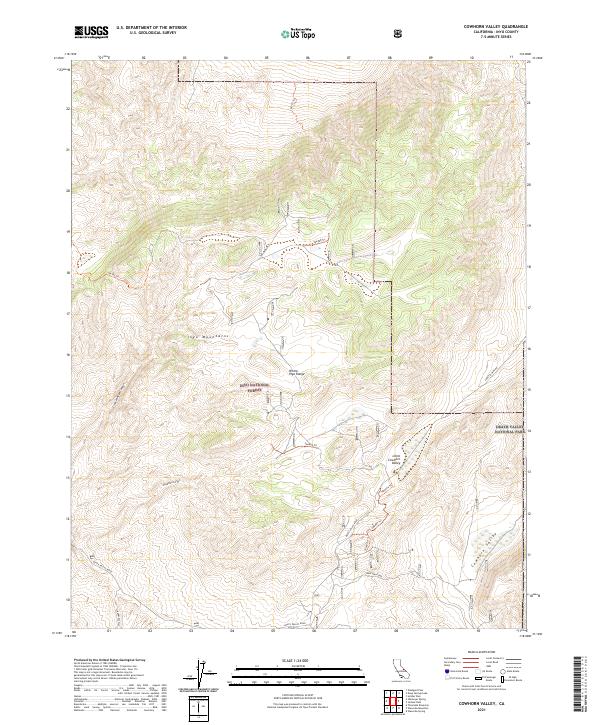
2021 Map of Cowhorn Valley
USGS Topo · Published 2021About this map
Inyo National Forest dominates this high-altitude landscape in Inyo County, where the southern reaches of the White-Inyo Range meet the northern edge of Death Valley National Park. The topography is defined by dramatic elevation changes, transitioning from the broad expanse of Cowhorn Valley and the smaller Little Cowhorn Valley into the steep ridges of the Inyo Mountains. A network of Forest Service routes and primitive trails, such as 36e408 Trl and 36e302 Trl, provides access through the complex drainage systems of Deadman Canyon and Crooked Road Canyon.
Find a feature on this map
22 named features on this map. Tap any name to fly to it.
Don’t see what you’re looking for? This feature index may not catch every label — zoom into the map to look around manually.
Map Details
Editions of this 2021 Cowhorn Valley Map
This is the sole edition of this map. No revisions or reprints were ever made.
Other maps of this area

1908 · Lida
USGS Topo · 1:250,000

1913 · Bishop
USGS Topo · 1:125,000

1913 · Lida
USGS Topo · 1:250,000

1947 · Mariposa
USGS Topo · 1:250,000

1948 · Mariposa
USGS Topo · 1:250,000

1951 · Blanco Mountain
USGS Topo · 1:62,500

1951 · Waucoba Mtn.
USGS Topo · 1:62,500

1954 · Goldfield
USGS Topo · 1:250,000

1955 · Goldfield
USGS Topo · 1:250,000

1957 · Mariposa
USGS Topo · 1:250,000