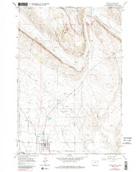
1966 Map of Cowley
USGS Topo · Published 1985About this map
The town of Cowley sits at the heart of this mid-1960s survey, defined by an intricate network of irrigation that transformed the arid landscape of northern Wyoming. The Sidon Canal and Big Horn Canal cut through the terrain, supporting the agricultural life of the community. To the north, the geography rises toward the Montana border, marked by the winding paths of Gypsum Creek and Dry Creek. This area shows signs of early industrial activity with several Drill Hole locations and a Quarry situated near the higher elevations.
Find a feature on this map
21 named features on this map. Tap any name to fly to it.
Don’t see what you’re looking for? This feature index may not catch every label — zoom into the map to look around manually.
Map Details
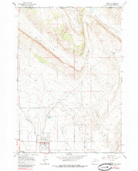
Editions of this 1966 Cowley Map
3 editions found

Other maps of this area

1954 · Billings
USGS Topo · 1:250,000

1955 · Cody
USGS Topo · 1:250,000

1957 · Billings
USGS Topo · 1:250,000

1958 · Billings
USGS Topo · 1:250,000

1958 · Cody
USGS Topo · 1:250,000

1962 · Cody
USGS Topo · 1:250,000

1964 · Red Pryor Mountain
USGS Topo · 1:24,000

1964 · Lovell Lakes
USGS Topo · 1:24,000

1964 · Sykes Spring
USGS Topo · 1:24,000
1964 · Mystery Cave
USGS Topo · 1:24,000