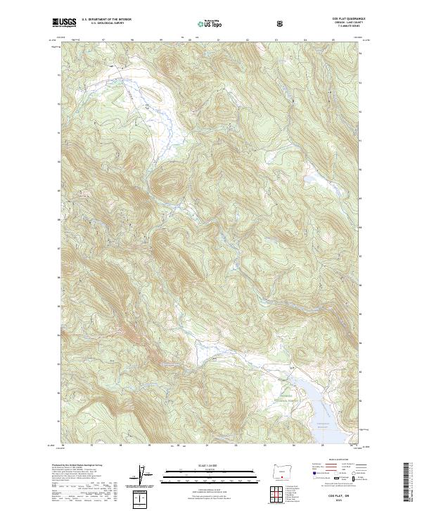
2023 Map of Cox Flat
USGS Topo · Published 2023About this map
Fremont National Forest defines this high-elevation landscape in Lake County, where water resources dictate the patterns of human movement and land use. The southern portion of the map is anchored by the Cottonwood Reservoir, which captures the flow of Cottonwood Creek and its many tributaries, including Tom Young Creek and Helphenstein Creek. The presence of the Cottonwood Creek Trl and Trunk Road suggests a managed timber and recreation area, providing access through the dense network of drainages.
Find a feature on this map
29 named features on this map. Tap any name to fly to it.
Don’t see what you’re looking for? This feature index may not catch every label — zoom into the map to look around manually.
Map Details
Editions of this 2023 Cox Flat Map
This is the sole edition of this map. No revisions or reprints were ever made.
Other maps of this area

1955 · Klamath Falls
USGS Topo · 1:250,000

1958 · Klamath Falls
USGS Topo · 1:250,000

1964 · Drews Reservoir
USGS Topo · 1:24,000

1964 · Cox Flat
USGS Topo · 1:24,000

1964 · Lakeview NW
USGS Topo · 1:24,000

1964 · Coleman Point
USGS Topo · 1:24,000

1964 · Cougar Peak
USGS Topo · 1:24,000

1964 · Shoestring Butte
USGS Topo · 1:24,000

1964 · Drews Gap
USGS Topo · 1:24,000

1964 · Clover Flat
USGS Topo · 1:24,000