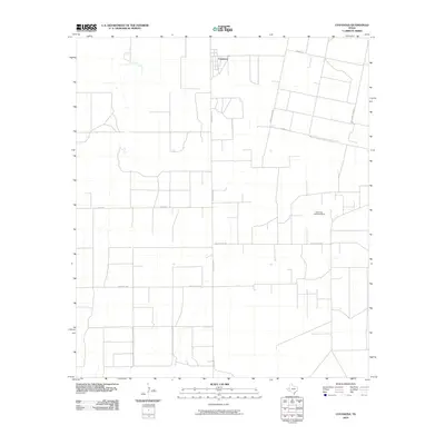
2010 Map of Coyanosa
USGS Topo · Published 2010About this map
Coyanosa serves as the focal point of this West Texas landscape, positioned at the intersection of a strictly gridded rural road network. The area’s economic character is defined by the energy industry, most notably the Athey Oil and Gas Field in the eastern portion of the quadrangle. A unique infrastructure pattern emerges through names like Mobil Plant Rd and Water Well Field Rd, reflecting the specialized land use required for resource extraction and water management in this arid environment. The road system, including Ranch Rd 1776 and Trailer House Rd, connects scattered local hubs and industrial sites across Pecos County. This survey provides a clear view of the mid-20th-century development of the Permian Basin’s southern reaches, where private ranching roads like Weatherby Rd and Tipton Rd meet larger state-maintained thoroughfares.
Find a feature on this map
10 named features on this map. Tap any name to fly to it.
Don’t see what you’re looking for? This feature index may not catch every label — zoom into the map to look around manually.
Map Details
Editions of this 2010 Coyanosa Map
This is the sole edition of this map. No revisions or reprints were ever made.
Other maps of this area

1931 · Barstow
USGS Topo · 1:125,000

1954 · Pecos
USGS Topo · 1:250,000

1957 · Pecos
USGS Topo · 1:250,000

1963 · Ligon Ranch
USGS Topo · 1:24,000

1963 · Rio Pecos Ranch
USGS Topo · 1:24,000
1973 · Coyanosa NW
USGS Topo · 1:24,000
1974 · Coyanosa
USGS Topo · 1:24,000
1974 · Coyanosa SW
USGS Topo · 1:24,000
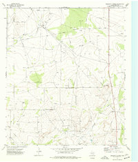
1974 · Diamond Y Spring
USGS Topo · 1:24,000
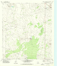
1974 · Diamond Y Spring NW
USGS Topo · 1:24,000