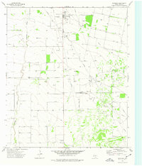
1974 Map of Coyanosa
USGS Topo · Published 1977About this map
The Coyanosa Gas Field dominates this 1970s landscape in Pecos County, characterized by a sprawling industrial infrastructure of pipelines and wells. At the heart of the region, the settlement of Coyanosa serves as a central hub, flanked by local landmarks like the Rodeo Ground and a dedicated Park. The presence of a Cotton Gin alongside a large Gas Plant and Pumping Sta underscores an economy driven by both agriculture and the petroleum industry during this era.
Find a feature on this map
12 named features on this map. Tap any name to fly to it.
Don’t see what you’re looking for? This feature index may not catch every label — zoom into the map to look around manually.
Map Details
Editions of this 1974 Coyanosa Map
This is the sole edition of this map. No revisions or reprints were ever made.
Other maps of this area

1931 · Barstow
USGS Topo · 1:125,000

1954 · Pecos
USGS Topo · 1:250,000

1957 · Pecos
USGS Topo · 1:250,000

1963 · Ligon Ranch
USGS Topo · 1:24,000

1963 · Rio Pecos Ranch
USGS Topo · 1:24,000
1973 · Coyanosa NW
USGS Topo · 1:24,000
1974 · Coyanosa SW
USGS Topo · 1:24,000
1974 · Diamond Y Spring
USGS Topo · 1:24,000
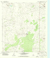
1974 · Diamond Y Spring NW
USGS Topo · 1:24,000
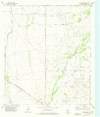
1974 · Coyanosa SE
USGS Topo · 1:24,000