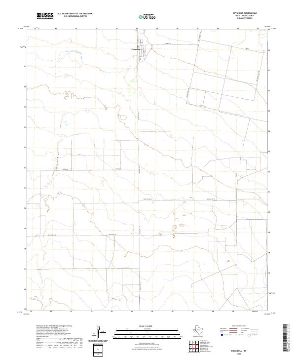
2022 Map of Coyanosa
USGS Topo · Published 2022About this map
Coyanosa serves as the focal point of this Pecos County landscape, situated at the intersection of Ranch Rd 1776 and local routes like Frank St and Battle St. The settlement sits just east of the Coyanosa Draw, an ephemeral watercourse that shapes the local topography. This 2022 survey reveals a highly structured environment defined by industrial and agricultural infrastructure, particularly evident in the naming of Mobil Plant Rd and Water Well Field Rd.
Find a feature on this map
13 named features on this map. Tap any name to fly to it.
Don’t see what you’re looking for? This feature index may not catch every label — zoom into the map to look around manually.
Map Details
Editions of this 2022 Coyanosa Map
This is the sole edition of this map. No revisions or reprints were ever made.
Other maps of this area

1931 · Barstow
USGS Topo · 1:125,000

1954 · Pecos
USGS Topo · 1:250,000

1957 · Pecos
USGS Topo · 1:250,000

1963 · Ligon Ranch
USGS Topo · 1:24,000

1963 · Rio Pecos Ranch
USGS Topo · 1:24,000
1973 · Coyanosa NW
USGS Topo · 1:24,000
1974 · Coyanosa
USGS Topo · 1:24,000
1974 · Coyanosa SW
USGS Topo · 1:24,000
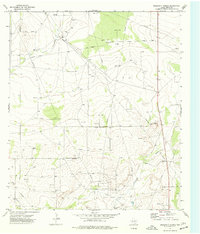
1974 · Diamond Y Spring
USGS Topo · 1:24,000
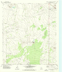
1974 · Diamond Y Spring NW
USGS Topo · 1:24,000