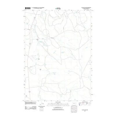
2012 Map of Coyote Gap
USGS Topo · Published 2012About this map
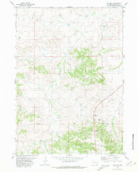
Coyote Gap serves as a focal point in this portion of Niobrara County, where the high plains landscape is defined by a network of intermittent watercourses and localized water management. The topography is marked by several significant drainages, including Badland Draw, Hales Draw, and Sand Draw, which channel seasonal runoff toward larger creek systems. This 2012 survey illustrates the importance of ranching infrastructure through various named catchments such as the Bad Land Number 1 Reservoir and Bad Land Number 2 Reservoir.
Find a feature on this map
18 named features on this map. Tap any name to fly to it.
Don’t see what you’re looking for? This feature index may not catch every label — zoom into the map to look around manually.
Map Details
Editions of this 2012 Coyote Gap Map
This is the sole edition of this map. No revisions or reprints were ever made.
Other maps of this area

1954 · Torrington
USGS Topo · 1:250,000

1955 · Newcastle
USGS Topo · 1:250,000

1958 · Torrington
USGS Topo · 1:250,000

1958 · Newcastle
USGS Topo · 1:250,000

1978 · Shepherds Point
USGS Topo · 1:24,000
1978 · Oat Creek NW
USGS Topo · 1:24,000
1978 · South Oat Creek
USGS Topo · 1:24,000

1981 · Telephone Draw
USGS Topo · 1:24,000
1981 · Coyote Gap
USGS Topo · 1:24,000
1981 · Hat Rock
USGS Topo · 1:24,000