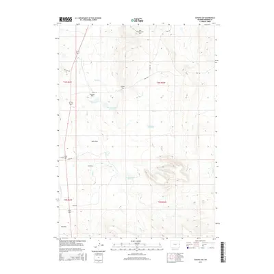
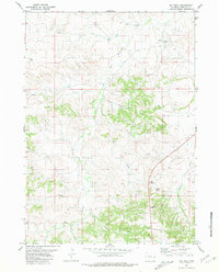
2015 Map of Coyote Gap
USGS Topo · Published 2015About this map
Coyote Gap serves as a prominent geographic break in the terrain of Niobrara County, anchoring a landscape defined by significant drainage systems and water management. To the north, the Old Woman Creek Hills rise above the basin where Old Woman Cr and Coyote Cr converge. The topography is marked by a series of erosion-formed depressions including Badland Draw, Hales Draw, and Sand Draw, illustrating the arid character of the Wyoming plains.
Find a feature on this map
24 named features on this map. Tap any name to fly to it.
Don’t see what you’re looking for? This feature index may not catch every label — zoom into the map to look around manually.
Map Details
Editions of this 2015 Coyote Gap Map
This is the sole edition of this map. No revisions or reprints were ever made.
Other maps of this area

1954 · Torrington
USGS Topo · 1:250,000

1955 · Newcastle
USGS Topo · 1:250,000

1958 · Torrington
USGS Topo · 1:250,000

1958 · Newcastle
USGS Topo · 1:250,000

1978 · Shepherds Point
USGS Topo · 1:24,000
1978 · Oat Creek NW
USGS Topo · 1:24,000
1978 · South Oat Creek
USGS Topo · 1:24,000

1981 · Telephone Draw
USGS Topo · 1:24,000
1981 · Coyote Gap
USGS Topo · 1:24,000
1981 · Hat Rock
USGS Topo · 1:24,000