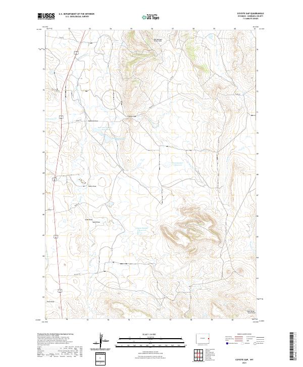
2021 Map of Coyote Gap
USGS Topo · Published 2021About this map
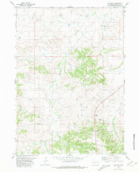
The Old Woman Creek Hills rise above a network of drainages and ranching improvements in this high-plains landscape of eastern Wyoming. Central to the area is Coyote Gap, a natural passage between the hills that serves as a focal point for local cattle country navigation. The land is marked by several named draws, such as Badland Draw, Hales Draw, and Sand Draw, which channel intermittent water toward Old Woman Cr.
Find a feature on this map
25 named features on this map. Tap any name to fly to it.
Don’t see what you’re looking for? This feature index may not catch every label — zoom into the map to look around manually.
Map Details
Editions of this 2021 Coyote Gap Map
This is the sole edition of this map. No revisions or reprints were ever made.
Other maps of this area

1954 · Torrington
USGS Topo · 1:250,000

1955 · Newcastle
USGS Topo · 1:250,000

1958 · Torrington
USGS Topo · 1:250,000

1958 · Newcastle
USGS Topo · 1:250,000

1978 · Shepherds Point
USGS Topo · 1:24,000
1978 · Oat Creek NW
USGS Topo · 1:24,000
1978 · South Oat Creek
USGS Topo · 1:24,000

1981 · Telephone Draw
USGS Topo · 1:24,000
1981 · Coyote Gap
USGS Topo · 1:24,000
1981 · Hat Rock
USGS Topo · 1:24,000