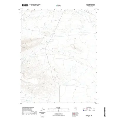
2020 Map of Coyote Mesa
USGS Topo · Published 2020About this map
Cimarron sits at the northern edge of this high-altitude landscape, where the Cimarron River winds through Colfax County. The terrain is defined by dramatic geological formations, most notably the prominent Tooth of Time Ridge and the expansive Coyote Mesa. These heights overlook a network of seasonal and perennial waters, including Urraca Cr and Chicoso Cr, which feed toward Hagerdon Lake.
Find a feature on this map
21 named features on this map. Tap any name to fly to it.
Don’t see what you’re looking for? This feature index may not catch every label — zoom into the map to look around manually.
Map Details
Editions of this 2020 Coyote Mesa Map
This is the sole edition of this map. No revisions or reprints were ever made.
Other maps of this area

1954 · Raton
USGS Topo · 1:250,000

1955 · Cimarron
USGS Topo · 1:62,500

1955 · Ute Park
USGS Topo · 1:62,500

1956 · Tooth Of Time
USGS Topo · 1:62,500

1956 · Miami
USGS Topo · 1:62,500

1958 · Raton
USGS Topo · 1:250,000

1981 · Springer
USGS Topo · 1:100,000

1981 · Raton
USGS Topo · 1:100,000

1982 · Wheeler Peak
USGS Topo · 1:100,000

1983 · Taos
USGS Topo · 1:100,000