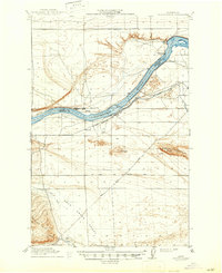
1916 Map of Coyote Rapids
USGS Topo · Published 1947About this map
Columbia River irrigation and early rail transport define this landscape during the 1910s, years before the mid-century transformation of the Hanford area. The Hanford Branch of the Chicago Milwaukee and St Paul railroad traces the river’s southern bank, serving riverside settlements like Allard and Haven. The map reveals the intricate infrastructure of the era, including the Hanford Ditch and a Pumping Plant situated near Coyote Rapids, highlighting how early settlers attempted to harness the water of the Cold Creek Valley for agriculture.
Find a feature on this map
27 named features on this map. Tap any name to fly to it.
Don’t see what you’re looking for? This feature index may not catch every label — zoom into the map to look around manually.
Map Details
Editions of this 1916 Coyote Rapids Map
3 editions found
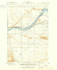
Other maps of this area

1911 · Red Rock
USGS Topo · 1:62,500

1912 · Beverly
USGS Topo · 1:62,500

1915 · Prosser
USGS Topo · 1:125,000

1916 · Coyote Rapids
USGS Topo · 1:62,500

1917 · Pasco
USGS Topo · 1:125,000

1917 · Priest Rapids
USGS Topo · 1:62,500

1917 · Prosser
USGS Topo · 1:125,000

1923 · Corfu
USGS Topo · 1:62,500

1924 · Hanford
USGS Topo · 1:62,500

1948 · Emerson Nipple
USGS Topo · 1:24,000