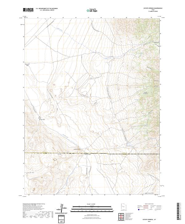
2023 Map of Coyote Springs
USGS Topo · Published 2023About this map
Simpson Mountains dominate the eastern landscape of this Tooele and Juab County borderland, where the terrain drops into the wide expanse of the Old River Bed. This relic of a prehistoric waterway provides a striking geological anchor for the region, flanked by features like White Marl Bluff and The Shutoff. The map documents a network of primitive desert routes, including the Simpson Springs-Callao Rd and The Shutoff Rd, which thread through a series of washes and canyons. Scattered water sources, critical for any historical activity in this arid basin, are mapped at Coyote Springs, Burnt Springs, and Sixmile Spring. The southern portion of the quadrangle transitions into the Slow Elk Hills, where the landscape is marked by landmarks such as Warehouse Rock and Cup Butte, illustrating the stark, high-desert character of the Utah Great Basin.
Find a feature on this map
31 named features on this map. Tap any name to fly to it.
Don’t see what you’re looking for? This feature index may not catch every label — zoom into the map to look around manually.
Map Details
Editions of this 2023 Coyote Springs Map
This is the sole edition of this map. No revisions or reprints were ever made.
Other maps of this area

1885 · Sevier Desert
USGS Topo · 1:250,000

1885 · Tooele Valley
USGS Topo · 1:250,000

1953 · Tooele
USGS Topo · 1:250,000

1953 · Delta
USGS Topo · 1:250,000

1955 · Camels Back Ridge SW
USGS Topo · 1:24,000

1955 · Simpson Springs
USGS Topo · 1:24,000

1955 · Indian Peaks
USGS Topo · 1:24,000

1955 · Indian Springs
USGS Topo · 1:24,000
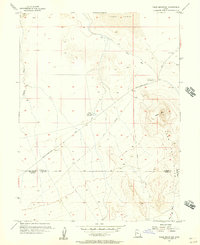
1955 · Table Mountain
USGS Topo · 1:24,000

1955 · Coyote Springs
USGS Topo · 1:24,000