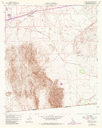
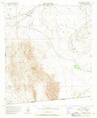
1957 Map of Coyote Wells
USGS Topo · Published 1979About this map
Coyote Wells and the neighboring settlement of Ocotillo serve as the primary hubs in this arid landscape, situated along the San Diego and Arizona Eastern rail line. The terrain transitions from the deep depressions of the Yuha Basin to the elevated reaches of Davies Valley, punctuated by a series of ephemeral watercourses including Coyote Wash and Yuha Wash. Cultural history is noted at the Vista De Anza Historical Marker and Yuha Well, reflecting the long-standing significance of water sources in this desert environment. The map also documents the international border with Mexico at the southern edge, where the Yuha Desert Recreation Lands meet the Baja California Norte boundary. Mining interest is indicated by scattered prospects throughout the canyon systems, while modern infrastructure like a Microwave Relay Sta and the Yuha Cutoff road highlight mid-century transit and communication developments.
Find a feature on this map
24 named features on this map. Tap any name to fly to it.
Don’t see what you’re looking for? This feature index may not catch every label — zoom into the map to look around manually.
Map Details
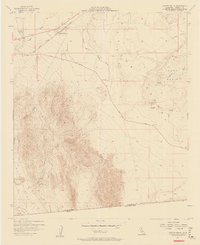
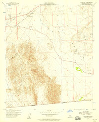
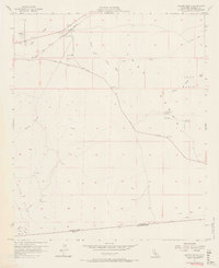
Editions of this 1957 Coyote Wells Map
6 editions found
Other maps of this area

1915 · El Centro
USGS Topo · 1:125,000

1931 · Carrizo
USGS Topo · 1:125,000

1939 · Jacumba
USGS Topo · 1:62,500

1940 · Plaster City
USGS Topo · 1:62,500

1940 · Coyote Wells
USGS Topo · 1:62,500

1942 · El Centro
USGS Topo · 1:250,000

1942 · Carrizo Mtn
USGS Topo · 1:62,500

1942 · Jacumba
USGS Topo · 1:62,500

1943 · Coyote Wells
USGS Topo · 1:62,500

1944 · Plaster City
USGS Topo · 1:62,500