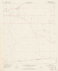
1957 Map of Coyote Wells
USGS Topo · Published 1967About this map
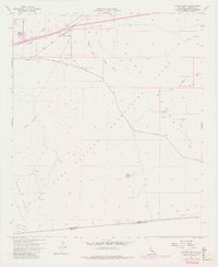
The San Diego and Arizona Eastern railroad tracks bisect this arid landscape, passing near the small settlements of Ocotillo and Coyote Wells. This 1950s survey documents a critical desert corridor where the Yuha Cutoff road and numerous Jeep Trails navigate the vast Yuha Desert. The southern margin is defined by the international boundary between the United States and Mexico, where Davies Valley and Pinto Canyon lead toward the border. Local history is marked by the Vista De Anza Historical Marker near the Yuha Basin, alongside scattered prospects and a shaft that indicate early mining activity. Natural drainage patterns are dominated by the winding paths of Coyote Wash and its South Fork, which converge as they head east across the flat, sandy floor.
Find a feature on this map
23 named features on this map. Tap any name to fly to it.
Don’t see what you’re looking for? This feature index may not catch every label — zoom into the map to look around manually.
Map Details
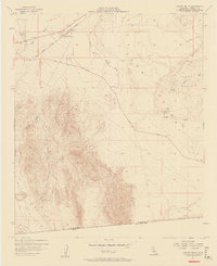
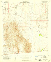
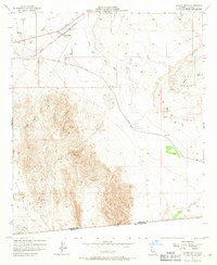
Editions of this 1957 Coyote Wells Map
6 editions found
Other maps of this area

1915 · El Centro
USGS Topo · 1:125,000

1931 · Carrizo
USGS Topo · 1:125,000

1939 · Jacumba
USGS Topo · 1:62,500

1940 · Plaster City
USGS Topo · 1:62,500

1940 · Coyote Wells
USGS Topo · 1:62,500

1942 · El Centro
USGS Topo · 1:250,000

1942 · Carrizo Mtn
USGS Topo · 1:62,500

1942 · Jacumba
USGS Topo · 1:62,500

1943 · Coyote Wells
USGS Topo · 1:62,500

1944 · Plaster City
USGS Topo · 1:62,500