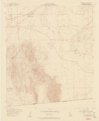
1957 Map of Coyote Wells
USGS Topo · Published 1958About this map
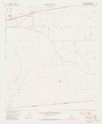
Coyote Wells and Ocotillo sit at the desert's edge in the late 1950s, serving as vital transit points along the San Diego and Arizona Eastern railroad. This arid landscape is defined by the complex drainage systems of Coyote Wash and the South Fork, which carve through the Yuha Basin. The map captures a moment when travel across the Imperial Valley was being formalized, evidenced by the Yuha Cutoff and the presence of the Vista De Anza Historical Marker, which commemorates the Spanish explorer's path through this terrain.
Find a feature on this map
21 named features on this map. Tap any name to fly to it.
Don’t see what you’re looking for? This feature index may not catch every label — zoom into the map to look around manually.
Map Details
Editions of this 1957 Coyote Wells Map
6 editions found
Other maps of this area

1915 · El Centro
USGS Topo · 1:125,000

1931 · Carrizo
USGS Topo · 1:125,000

1939 · Jacumba
USGS Topo · 1:62,500

1940 · Plaster City
USGS Topo · 1:62,500

1940 · Coyote Wells
USGS Topo · 1:62,500

1942 · El Centro
USGS Topo · 1:250,000

1942 · Carrizo Mtn
USGS Topo · 1:62,500

1942 · Jacumba
USGS Topo · 1:62,500

1943 · Coyote Wells
USGS Topo · 1:62,500

1944 · Plaster City
USGS Topo · 1:62,500