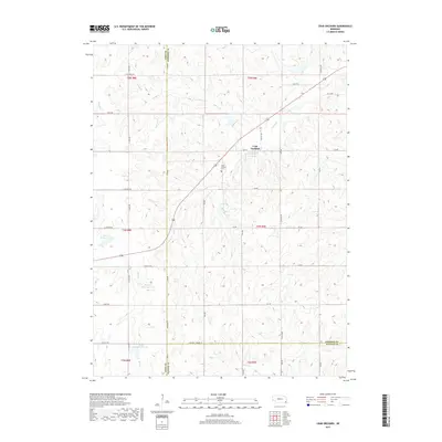
2017 Map of Crab Orchard
USGS Topo · Published 2017About this map
Crab Orchard serves as the primary settlement hub in this part of Johnson County, situated at the intersection of Main St and 136. The landscape is defined by the branching waterways of Yankee Cr and Mud Cr, which together with their tributaries like Laflins Br and Lost Br, carve a dense network of drainage patterns through the agricultural terrain. A series of flood control structures, including Mud Cr Reservoir 2-D and Mud Cr Reservoir 2-H, illustrate modern water management practices along the creek beds.
Find a feature on this map
46 named features on this map. Tap any name to fly to it.
Don’t see what you’re looking for? This feature index may not catch every label — zoom into the map to look around manually.
Map Details
Editions of this 2017 Crab Orchard Map
This is the sole edition of this map. No revisions or reprints were ever made.
Other maps of this area

1955 · Lincoln
USGS Topo · 1:250,000

1957 · Lincoln
USGS Topo · 1:250,000

1958 · Lincoln
USGS Topo · 1:250,000

1965 · Adams
USGS Topo · 1:24,000

1965 · Crab Orchard
USGS Topo · 1:24,000

1965 · Burchard
USGS Topo · 1:24,000

1965 · Sterling
USGS Topo · 1:24,000

1965 · Lewiston
USGS Topo · 1:24,000
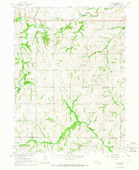
1965 · Vesta
USGS Topo · 1:24,000
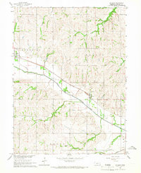
1965 · St. Mary
USGS Topo · 1:24,000