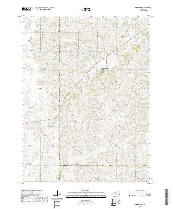
2021 Map of Crab Orchard
USGS Topo · Published 2021About this map
The village of Crab Orchard serves as the focal point of this Johnson County landscape, situated where Yankee Cr flows through the central terrain. This area is characterized by a high density of water management features, including Mud Cr Reservoir 2-D, Mud Cr Reservoir 2-F, and Mud Cr Reservoir 2-H along the course of Mud Cr. These reservoirs suggest a landscape heavily modified for local agricultural stability and flood control.
Find a feature on this map
46 named features on this map. Tap any name to fly to it.
Don’t see what you’re looking for? This feature index may not catch every label — zoom into the map to look around manually.
Map Details
Editions of this 2021 Crab Orchard Map
This is the sole edition of this map. No revisions or reprints were ever made.
Other maps of this area

1955 · Lincoln
USGS Topo · 1:250,000

1957 · Lincoln
USGS Topo · 1:250,000

1958 · Lincoln
USGS Topo · 1:250,000

1965 · Adams
USGS Topo · 1:24,000

1965 · Crab Orchard
USGS Topo · 1:24,000

1965 · Burchard
USGS Topo · 1:24,000

1965 · Sterling
USGS Topo · 1:24,000

1965 · Lewiston
USGS Topo · 1:24,000
1965 · Vesta
USGS Topo · 1:24,000
1965 · St. Mary
USGS Topo · 1:24,000