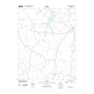
2010 Map of Crab Orchard
USGS Topo · Published 2010About this map
Crab Orchard and its surrounding rural landscapes are defined by a network of creeks and family cemeteries that speak to generations of settlement in this part of Kentucky. The terrain is drained by the Dix River and several substantial tributaries, including Cedar Creek and Crab Orchard Creek, which wind through a patchwork of agricultural land and wooded ridges. Smaller hamlets like Sugar Grove, Walnut Flat, and Broughtentown are connected by local routes such as William Whitley Rd and Old US Hwy 150.
Find a feature on this map
60 named features on this map. Tap any name to fly to it.
Don’t see what you’re looking for? This feature index may not catch every label — zoom into the map to look around manually.
Map Details
Editions of this 2010 Crab Orchard Map
This is the sole edition of this map. No revisions or reprints were ever made.
Other maps of this area

1892 · Richmond
USGS Topo · 1:125,000

1893 · London
USGS Topo · 1:125,000

1897 · Richmond
USGS Topo · 1:125,000

1897 · London
USGS Topo · 1:125,000

1905 · Harrodsburg
USGS Topo · 1:125,000
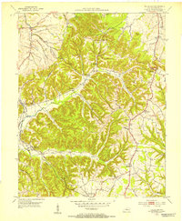
1952 · Halls Gap
USGS Topo · 1:24,000
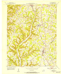
1952 · Eubank
USGS Topo · 1:24,000
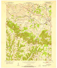
1952 · Crab Orchard
USGS Topo · 1:24,000
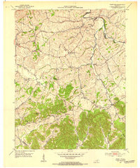
1952 · Paint Lick
USGS Topo · 1:24,000
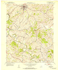
1952 · Lancaster
USGS Topo · 1:24,000