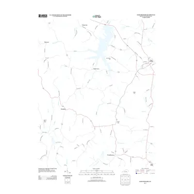
2013 Map of Crab Orchard
USGS Topo · Published 2013About this map
The Dix River watershed defines this portion of Lincoln County, where the historic Wilderness Rd passes through Crab Orchard and continues toward Walnut Flat. The landscape is a network of small agricultural settlements and family-named landmarks, reflecting a deep-rooted rural community. To the west, the settlement of Ottenheim sits along the winding path of Fenny Br, while Broughtentown and the curiously named Dog Walk anchor the southern reaches of the quadrangle. Significant watercourses like Crab Orchard Cr and Turkey Cr carve through the terrain, with Collier Knob providing a prominent topographical reference point. Local aviation is represented by the Robbins Roost Airport, located near the headwaters of Buck Cr, illustrating how modern infrastructure integrates with the traditional crossroads and farm roads of central Kentucky.
Find a feature on this map
89 named features on this map. Tap any name to fly to it.
Don’t see what you’re looking for? This feature index may not catch every label — zoom into the map to look around manually.
Map Details
Editions of this 2013 Crab Orchard Map
This is the sole edition of this map. No revisions or reprints were ever made.
Other maps of this area

1892 · Richmond
USGS Topo · 1:125,000

1893 · London
USGS Topo · 1:125,000

1897 · Richmond
USGS Topo · 1:125,000

1897 · London
USGS Topo · 1:125,000

1905 · Harrodsburg
USGS Topo · 1:125,000

1952 · Halls Gap
USGS Topo · 1:24,000

1952 · Eubank
USGS Topo · 1:24,000

1952 · Crab Orchard
USGS Topo · 1:24,000

1952 · Paint Lick
USGS Topo · 1:24,000

1952 · Lancaster
USGS Topo · 1:24,000