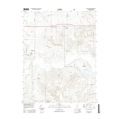
2015 Map of Crab Orchard
USGS Topo · Published 2015About this map
Creal Springs and the village of Crab Orchard anchor this Williamson County landscape, where the S Fork Saline River and Sugar Cr wind through a terrain marked by small-scale settlements and rural cemeteries. The map reveals the layout of established communities like New Dennison, Willeford, and Rodgersville, alongside many family-named landmarks such as Pulley Cem, Edwards Cem, and Moore Cem. To the west, the presence of Caplinger Pond and Little Cana Cr highlights the local drainage patterns that shaped early development. This modern survey is particularly valuable for genealogists tracing ancestral burial sites, documenting locations like Old Krieger Cem, Atwood Cem, and Spring Hill Cem across a network of country lanes including Worleys Mill Rd and Shed Church Rd.
Find a feature on this map
85 named features on this map. Tap any name to fly to it.
Don’t see what you’re looking for? This feature index may not catch every label — zoom into the map to look around manually.
Map Details
Editions of this 2015 Crab Orchard Map
This is the sole edition of this map. No revisions or reprints were ever made.
Other maps of this area

1908 · Galatia
USGS Topo · 1:62,500

1909 · West Frankfort
USGS Topo · 1:62,500

1925 · Marion
USGS Topo · 1:62,500

1925 · Harrisburg
USGS Topo · 1:62,500

1938 · Galatia
USGS Topo · 1:62,500

1939 · Harrisburg
USGS Topo · 1:62,500

1940 · Marion
USGS Topo · 1:62,500

1941 · West Frankfort
USGS Topo · 1:62,500

1949 · Paducah
USGS Topo · 1:250,000

1950 · Paducah
USGS Topo · 1:250,000