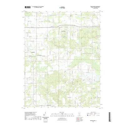
2021 Map of Crab Orchard
USGS Topo · Published 2021About this map
Crab Orchard and the outskirts of Marion define this portion of Williamson County, where the landscape is intricately divided by a network of rural routes and family-named landmarks. The area serves as a significant record for genealogists, featuring numerous small burial grounds such as Bethlehem Cem, Old Krieger Cem, and Pleasant Grove Cem. The southern portion of the map is anchored by Creal Springs, where Creal Springs Cem and Springhill Cem sit near the headwaters of Sugar Cr and Brushy Cr.
Find a feature on this map
86 named features on this map. Tap any name to fly to it.
Don’t see what you’re looking for? This feature index may not catch every label — zoom into the map to look around manually.
Map Details
Editions of this 2021 Crab Orchard Map
This is the sole edition of this map. No revisions or reprints were ever made.
Other maps of this area

1908 · Galatia
USGS Topo · 1:62,500

1909 · West Frankfort
USGS Topo · 1:62,500

1925 · Marion
USGS Topo · 1:62,500

1925 · Harrisburg
USGS Topo · 1:62,500

1938 · Galatia
USGS Topo · 1:62,500

1939 · Harrisburg
USGS Topo · 1:62,500

1940 · Marion
USGS Topo · 1:62,500

1941 · West Frankfort
USGS Topo · 1:62,500

1949 · Paducah
USGS Topo · 1:250,000

1950 · Paducah
USGS Topo · 1:250,000