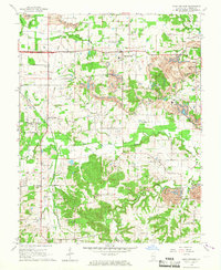
1965 Map of Crab Orchard
USGS Topo · Published 1967About this map
Crab Orchard and Creal Springs serve as the primary hubs in this mid-1960s survey of Williamson County, where the landscape is defined by the intersection of traditional agriculture and a burgeoning industrial footprint. Extensive Strip Mine operations and individual sites like the Barbara Kay Mine carve through the terrain, particularly between the Illinois Central and New York Central railroad lines. These rail corridors were vital for moving coal and local goods across the South Fork Saline River basin.
Find a feature on this map
48 named features on this map. Tap any name to fly to it.
Don’t see what you’re looking for? This feature index may not catch every label — zoom into the map to look around manually.
Map Details
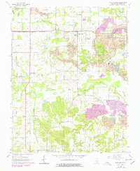
Editions of this 1965 Crab Orchard Map
2 editions found
Other maps of this area

1908 · Galatia
USGS Topo · 1:62,500

1909 · West Frankfort
USGS Topo · 1:62,500

1925 · Marion
USGS Topo · 1:62,500

1925 · Harrisburg
USGS Topo · 1:62,500

1938 · Galatia
USGS Topo · 1:62,500

1939 · Harrisburg
USGS Topo · 1:62,500

1940 · Marion
USGS Topo · 1:62,500

1941 · West Frankfort
USGS Topo · 1:62,500

1949 · Paducah
USGS Topo · 1:250,000

1950 · Paducah
USGS Topo · 1:250,000