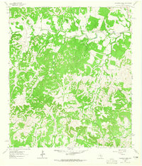
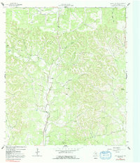
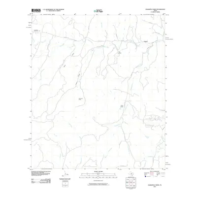
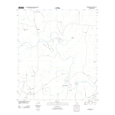
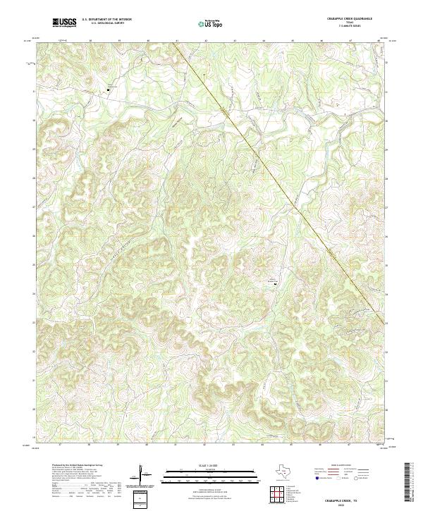
1963 Map of Crabapple Creek
USGS Topo · Published 1965About this map
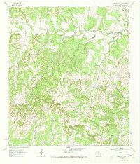
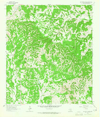
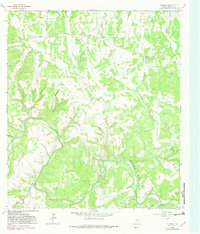
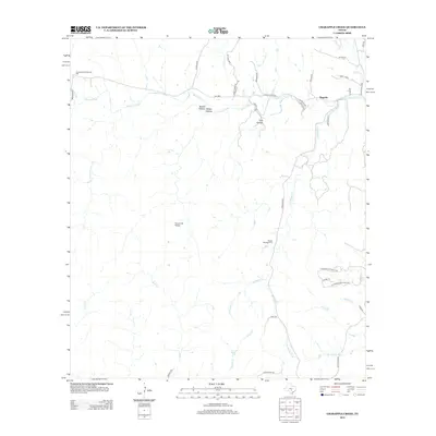
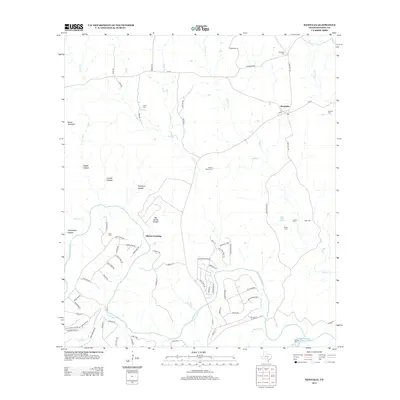
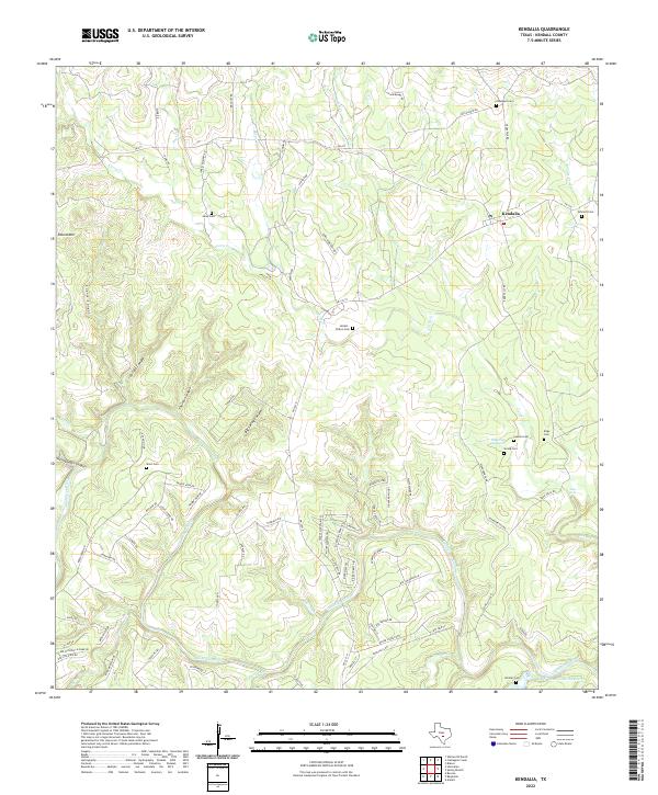
Kendalia serves as a focal point in this portion of the Texas Hill Country, where the landscape is defined by the winding course of the Blanco River and its numerous tributaries. Settled within a complex network of drainages like Crabapple Creek and Curry Creek, the area shows a distinct rural organization at the start of the 1960s. The presence of the Lindendale Community Hall and the settlement of Flugrath suggest localized social and agricultural hubs connected by a system of rural roads and cattle fences.
Find a feature on this map
22 named features on this map. Tap any name to fly to it.
Don’t see what you’re looking for? This feature index may not catch every label — zoom into the map to look around manually.
Map Details
Editions of this 1963 Crabapple Creek Map
2 editions found
Historical Maps of Flugrath Through Time
42 maps found
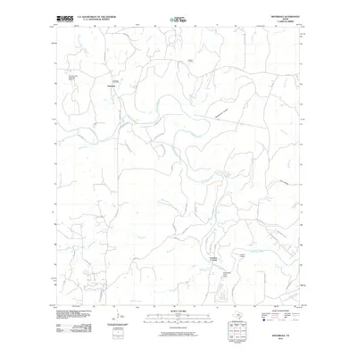
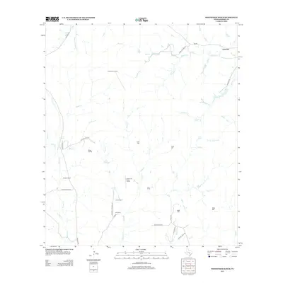
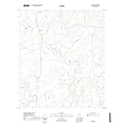
1963 Crabapple Creek
Kendall County, TX
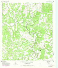
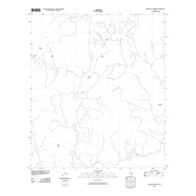
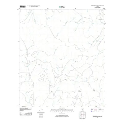
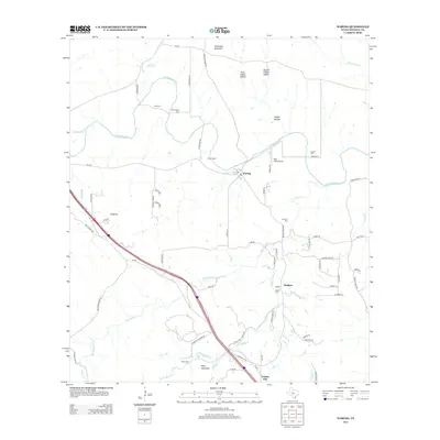
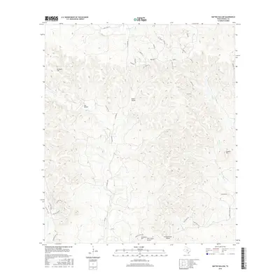
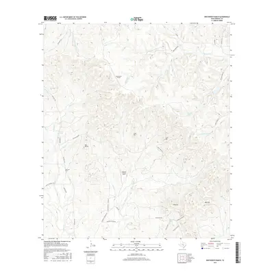
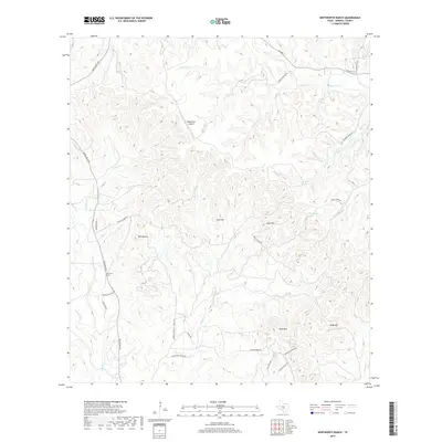
1963 Whitworth Ranch
Kendall County, TX
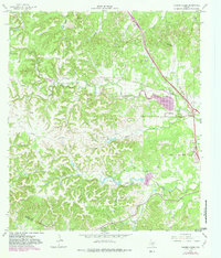
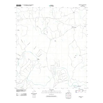
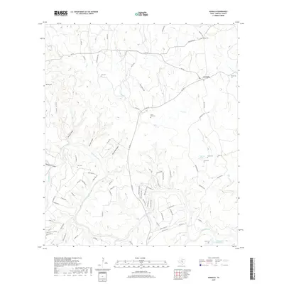
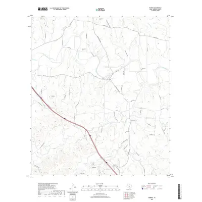
1964 Kendalia
Kendall County, TX
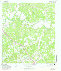
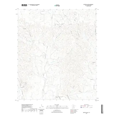
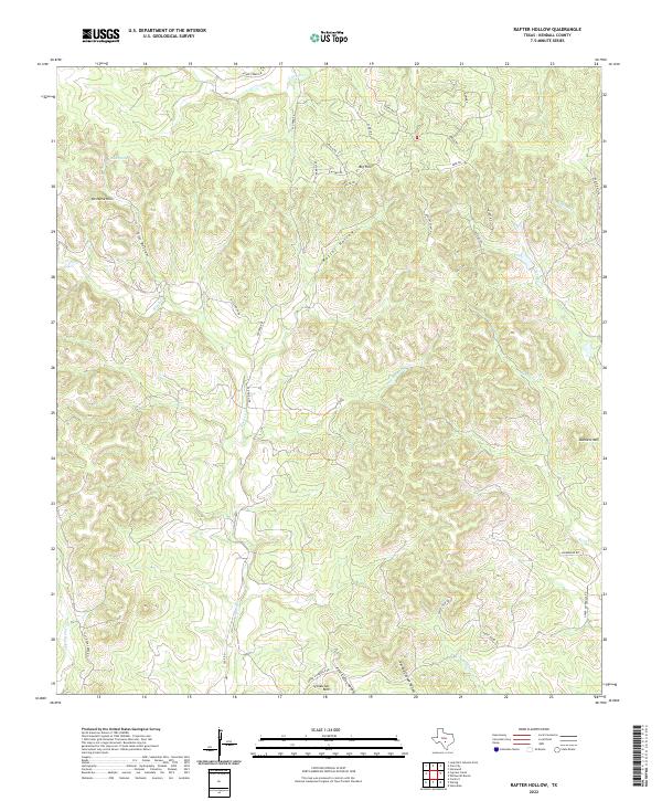
1964 Rafter Hollow
Kendall County, TX
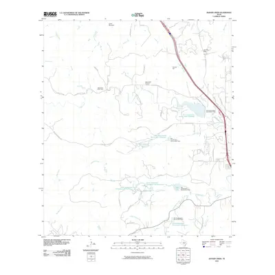
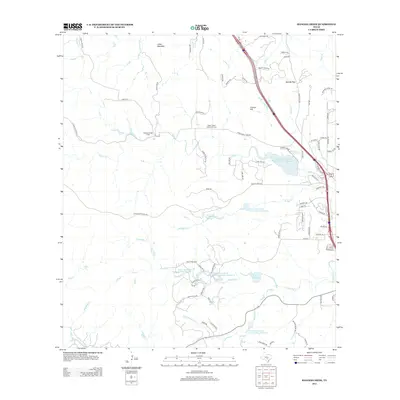
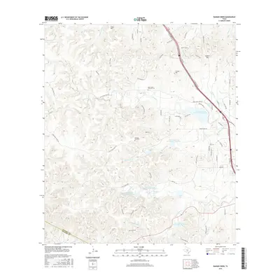
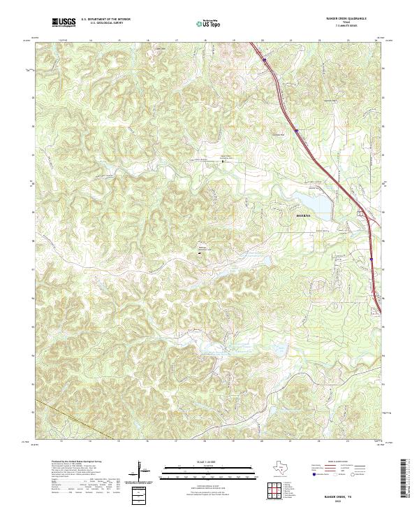
1964 Ranger Creek
Kendall County, TX
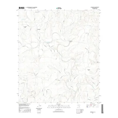
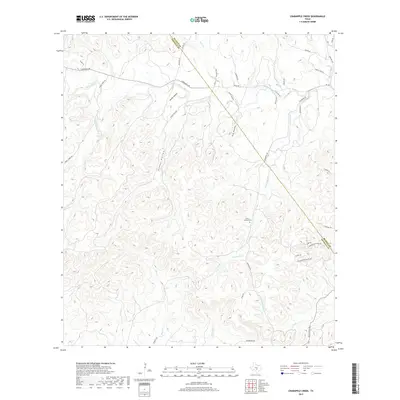
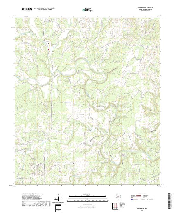
1964 Sisterdale
Kendall County, TX
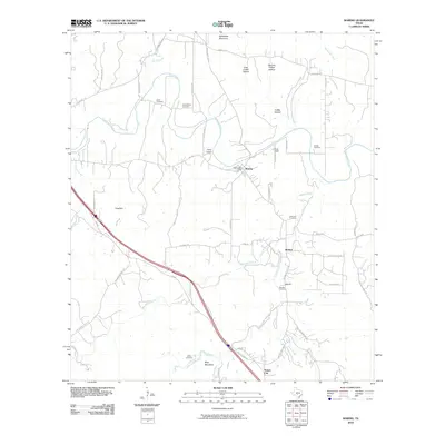
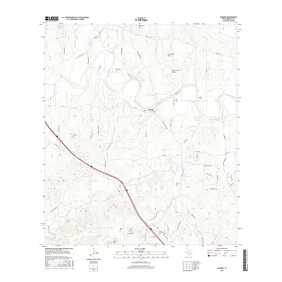
1964 Waring
Kendall County, TX
2010 Crabapple Creek
Kendall County, TX
2010 Kendalia
Kendall County, TX
2010 Rafter Hollow
Kendall County, TX
2010 Ranger Creek
Kendall County, TX
2010 Sisterdale
Kendall County, TX
2010 Waring
Kendall County, TX
2010 Whitworth Ranch
Kendall County, TX
2012 Crabapple Creek
Kendall County, TX
2012 Rafter Hollow
Kendall County, TX
2012 Whitworth Ranch
Kendall County, TX
2013 Kendalia
Kendall County, TX
2013 Ranger Creek
Kendall County, TX
2013 Sisterdale
Kendall County, TX
2013 Waring
Kendall County, TX
2016 Crabapple Creek
Kendall County, TX
2016 Kendalia
Kendall County, TX
2016 Rafter Hollow
Kendall County, TX
2016 Ranger Creek
Kendall County, TX
2016 Sisterdale
Kendall County, TX
2016 Waring
Kendall County, TX
2016 Whitworth Ranch
Kendall County, TX
2019 Crabapple Creek
Kendall County, TX
2019 Kendalia
Kendall County, TX
2019 Rafter Hollow
Kendall County, TX

2019 Ranger Creek
Kendall County, TX
2019 Sisterdale
Kendall County, TX
2019 Waring
Kendall County, TX
2019 Whitworth Ranch
Kendall County, TX
2022 Crabapple Creek
Kendall County, TX
2022 Kendalia
Kendall County, TX
2022 Rafter Hollow
Kendall County, TX
2022 Ranger Creek
Kendall County, TX
2022 Sisterdale
Kendall County, TX
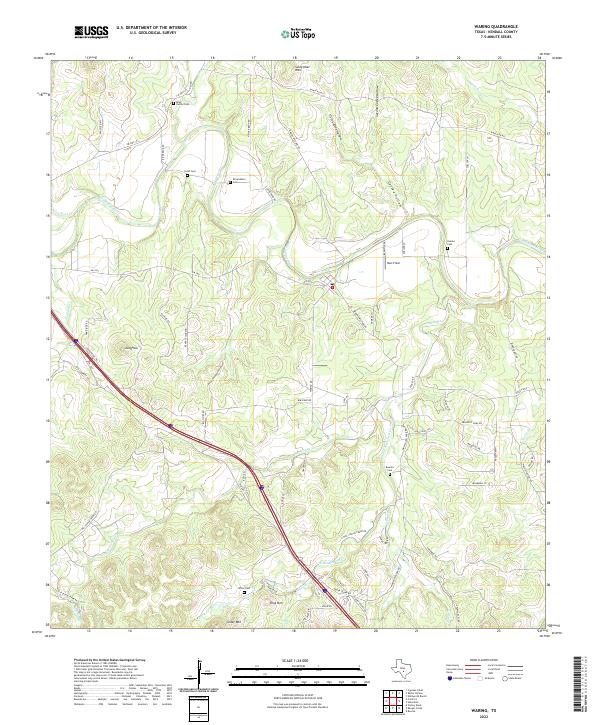
2022 Waring
Kendall County, TX
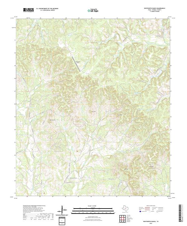
2022 Whitworth Ranch
Kendall County, TX