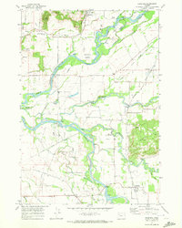
1970 Map of Crabtree
USGS Topo · Published 1972About this map
The South Santiam River and North Santiam River converge in this agricultural landscape of the Willamette Valley, where water remains the primary shaper of the land. The presence of multiple Covered Bridge labels across Thomas Creek and Crabtree Creek speaks to the region's preservation of older infrastructure during the early 1970s. Key settlements like Crabtree and West Scio are situated along the Southern Pacific railroad line, which cuts through a network of family-named roads and drainage features like Smallman Slough and McKinney Bottom. Genealogists will find value in the location of the Jefferson Cem, Central Cem, and the Lakeview Sch, while the scattered Quarry and Gravel Pit sites near Salem Hills and Hungry Hill reflect the local resource extraction of the era.
Find a feature on this map
45 named features on this map. Tap any name to fly to it.
Don’t see what you’re looking for? This feature index may not catch every label — zoom into the map to look around manually.
Map Details
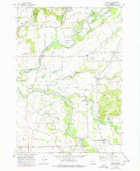
Editions of this 1970 Crabtree Map
2 editions found
Other maps of this area

1911 · Lebanon
USGS Topo · 1:31,680

1911 · Tangent
USGS Topo · 1:31,680

1912 · Jefferson
USGS Topo · 1:31,680

1915 · Sidney
USGS Topo · 1:31,680

1916 · Albany
USGS Topo · 1:62,500

1917 · Salem
USGS Topo · 1:62,500

1921 · Lebanon
USGS Topo · 1:62,500

1922 · Lebanon
USGS Topo · 1:48,000

1924 · Lebanon
USGS Topo · 1:62,500

1925 · Stayton
USGS Topo · 1:62,500