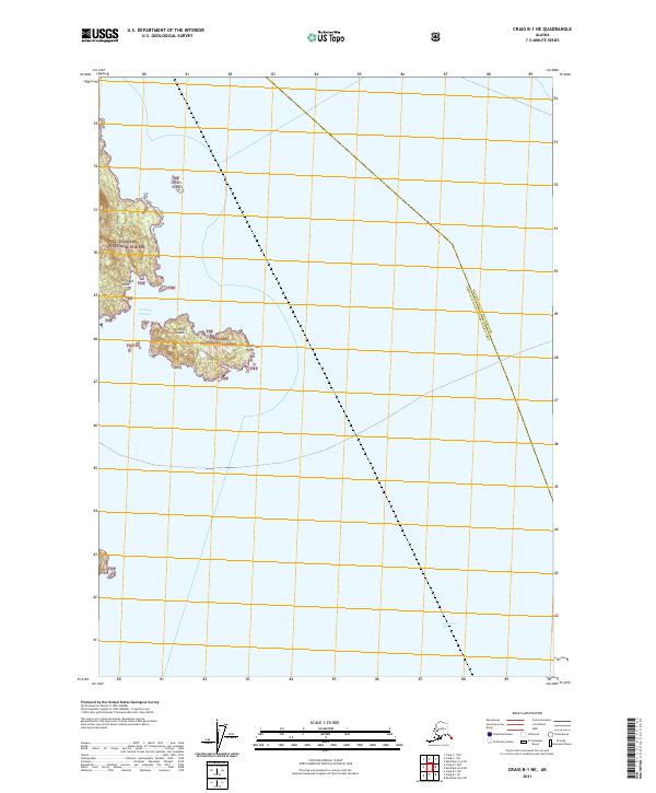
2021 Map of Craig B-1 NE
USGS Topo · Published 2021About this map
Tongass National Forest dominates this maritime landscape of the Alexander Archipelago, showing the intricate relationship between the land and the surrounding waters of Clarence Strait. The map highlights several prominent coastal features, including the sheltered Grindall Passage that separates Grindall Island from the mainland at Grindall Point. These waters and islands represent a portion of the vast federal forest system in Southeast Alaska, where the terrain is marked by isolated landmasses such as Streets Island and the eastern reach of Approach Point. The absence of roads on these islands underscores the remote, boat-access nature of the region, characteristic of the state's wilderness management areas in the early twenty-first century.
Find a feature on this map
14 named features on this map. Tap any name to fly to it.
Don’t see what you’re looking for? This feature index may not catch every label — zoom into the map to look around manually.
Map Details
Editions of this 2021 Craig B-1 NE Map
This is the sole edition of this map. No revisions or reprints were ever made.
Other maps of this area

1949 · Ketchikan C-6
USGS Topo · 1:63,360

1949 · Craig B-1
USGS Topo · 1:63,360

1950 · Craig B-1
USGS Topo · 1:63,360

1950 · Craig C-1
USGS Topo · 1:63,360

1951 · Craig C-1
USGS Topo · 1:63,360

1952 · Ketchikan
USGS Topo · 1:250,000

1952 · Ketchikan C-6
USGS Topo · 1:63,360

1953 · Ketchikan B-6
USGS Topo · 1:63,360

1954 · Ketchikan B-6
USGS Topo · 1:63,360

1955 · Ketchikan
USGS Topo · 1:250,000