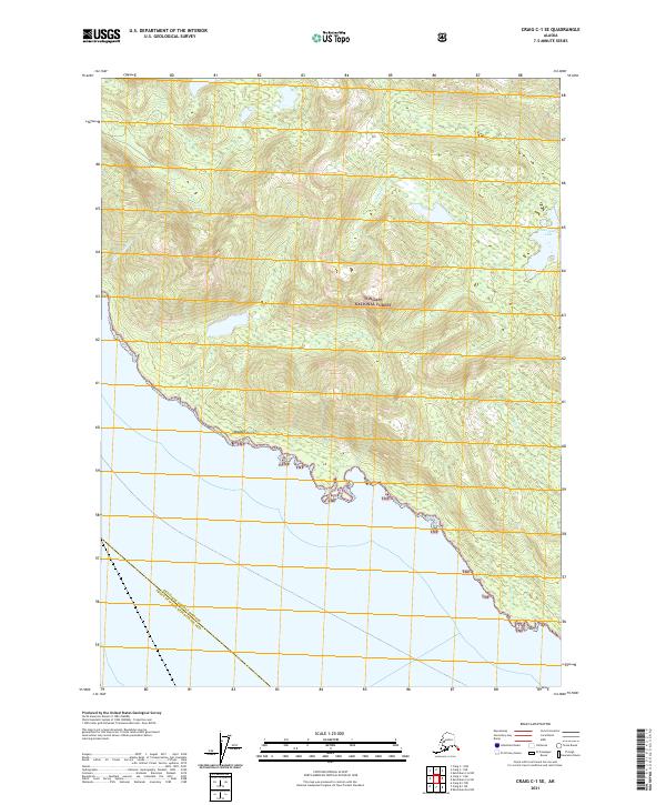
2021 Map of Craig C-1 SE
USGS Topo · Published 2021About this map
Tongass National Forest covers the vast majority of this coastal Alaskan landscape, where steep maritime slopes meet the intricate shoreline of the Prince of Wales-Hyder Census Area. The terrain is defined by dramatic elevation changes rising directly from the saltwater, including the prominent Niblack Point which guards the southern approach to inland waters. Natural freshwater features like Smugglers Lake and the drainage of Niblack Hollow are tucked into the high-relief topography, representing the typical temperate rainforest geography of the Alexander Archipelago. This survey documents the boundary between the forest lands and the Ketchikan Gateway Borough, illustrating a region where human footprint is largely confined to the water's edge and the management of timber and natural resources.
Find a feature on this map
10 named features on this map. Tap any name to fly to it.
Don’t see what you’re looking for? This feature index may not catch every label — zoom into the map to look around manually.
Map Details
Editions of this 2021 Craig C-1 SE Map
This is the sole edition of this map. No revisions or reprints were ever made.
Other maps of this area

1949 · Ketchikan C-6
USGS Topo · 1:63,360

1949 · Craig B-1
USGS Topo · 1:63,360

1950 · Craig B-1
USGS Topo · 1:63,360

1950 · Craig C-1
USGS Topo · 1:63,360

1951 · Craig C-1
USGS Topo · 1:63,360

1952 · Ketchikan
USGS Topo · 1:250,000

1952 · Ketchikan C-6
USGS Topo · 1:63,360

1953 · Ketchikan B-6
USGS Topo · 1:63,360

1954 · Ketchikan B-6
USGS Topo · 1:63,360

1955 · Ketchikan
USGS Topo · 1:250,000