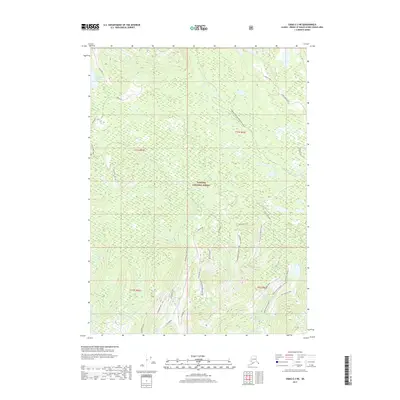
2017 Map of Craig C-3 NE
USGS Topo · Published 2017About this map
Thorne River and its associated waterways dominate this portion of the Tongass National Forest, illustrating the intricate drainage patterns of Prince of Wales Island. The landscape is defined by its complex hydrology, featuring the Honker-Divide Canoe Route (Water) and numerous interconnected water bodies such as Snakey Lakes and the Cutthroat Lakes. The presence of the Toms Lake Trail and Balls Lake Trail suggests established access routes through the dense forest and around Toms Lake.
Find a feature on this map
33 named features on this map. Tap any name to fly to it.
Don’t see what you’re looking for? This feature index may not catch every label — zoom into the map to look around manually.
Map Details
Editions of this 2017 Craig C-3 NE Map
This is the sole edition of this map. No revisions or reprints were ever made.
Other maps of this area

1949 · Craig D-3
USGS Topo · 1:63,360

1949 · Craig C-2
USGS Topo · 1:63,360

1949 · Craig D-2
USGS Topo · 1:63,360

1949 · Craig C-3
USGS Topo · 1:63,360

1950 · Craig D-3
USGS Topo · 1:63,360

1951 · Craig C-3
USGS Topo · 1:63,360

1951 · Craig D-2
USGS Topo · 1:63,360

1951 · Craig C-2
USGS Topo · 1:63,360

1957 · Craig
USGS Topo · 1:250,000
1994 · Craig D-3
USGS Topo · 1:63,360