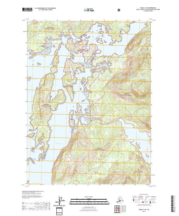
2021 Map of Craig C-4 SE
USGS Topo · Published 2021About this map
Klawock and Craig anchor this portion of Prince of Wales Island, situated along a complex network of waterways including Klawock Inlet and Shinaku Inlet. The landscape is defined by its maritime orientation, with the Prince of Wales Courthouse serving as a focal point for regional administration. Local infrastructure is concentrated along Bayview Boulevard and Big Salt Lake Rd, connecting the residential and commercial areas to the Klawock Airport.
Find a feature on this map
28 named features on this map. Tap any name to fly to it.
Don’t see what you’re looking for? This feature index may not catch every label — zoom into the map to look around manually.
Map Details
Editions of this 2021 Craig C-4 SE Map
This is the sole edition of this map. No revisions or reprints were ever made.
Other maps of this area

1949 · Craig B-3
USGS Topo · 1:63,360

1949 · Craig C-3
USGS Topo · 1:63,360

1949 · Craig C-4
USGS Topo · 1:63,360

1949 · Craig B-4
USGS Topo · 1:63,360

1951 · Craig C-3
USGS Topo · 1:63,360

1951 · Craig B-4
USGS Topo · 1:63,360

1951 · Craig C-4
USGS Topo · 1:63,360

1951 · Craig B-3
USGS Topo · 1:63,360

1957 · Craig
USGS Topo · 1:250,000
1994 · Craig C-3
USGS Topo · 1:63,360