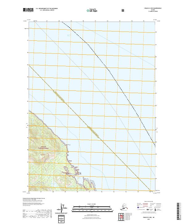
2021 Map of Craig D-2 NW
USGS Topo · Published 2021About this map
Clarence Strait defines the eastern shoreline of Prince of Wales Island in this coastal survey, where the dense timber of the Tongass National Forest meets the saltwater. The landscape is marked by steep coastal transitions, centering on the sheltered waters of Ratz Harbor and the prominent landmark of Ratz Point. Further inland, the drainage of Ratz Cr and the quiet waters of Trumpeter Lake illustrate the hydrological patterns of the Alexander Archipelago. Human activity is represented by the 3025500 Road Trl, a corridor through the forest that suggests the region's historical and modern reliance on logging and resource management infrastructure. This map captures a precise moment in the shifting administrative boundaries between the Wrangell City and Borough and Prince of Wales-Hyder Census Area.
Find a feature on this map
13 named features on this map. Tap any name to fly to it.
Don’t see what you’re looking for? This feature index may not catch every label — zoom into the map to look around manually.
Map Details
Editions of this 2021 Craig D-2 NW Map
This is the sole edition of this map. No revisions or reprints were ever made.
Other maps of this area

1948 · Petersburg A-2
USGS Topo · 1:63,360

1949 · Craig D-3
USGS Topo · 1:63,360

1949 · Craig D-2
USGS Topo · 1:63,360

1949 · Petersburg A-3
USGS Topo · 1:63,360

1950 · Craig D-3
USGS Topo · 1:63,360

1951 · Craig D-2
USGS Topo · 1:63,360

1952 · Petersburg
USGS Topo · 1:250,000

1953 · Petersburg A-3
USGS Topo · 1:63,360

1953 · Petersburg A-2
USGS Topo · 1:63,360

1957 · Craig
USGS Topo · 1:250,000