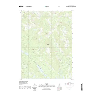
2017 Map of Craig D-3 SE
USGS Topo · Published 2017About this map
Alexander Archipelago terrain dominates this portion of the Tongass National Forest, where steep ridges and complex water systems define the geography of Prince of Wales Island. The landscape transitions from high points like Manty Mtn and North Point down into heavily forested valleys. The hydrography is particularly intricate, featuring the Thorne River and its northern branches, alongside Thorne Lake and the northern reaches of Big Lake.
Find a feature on this map
24 named features on this map. Tap any name to fly to it.
Don’t see what you’re looking for? This feature index may not catch every label — zoom into the map to look around manually.
Map Details
Editions of this 2017 Craig D-3 SE Map
This is the sole edition of this map. No revisions or reprints were ever made.
Other maps of this area

1949 · Craig D-3
USGS Topo · 1:63,360

1949 · Craig C-2
USGS Topo · 1:63,360

1949 · Craig D-2
USGS Topo · 1:63,360

1949 · Craig C-3
USGS Topo · 1:63,360

1950 · Craig D-3
USGS Topo · 1:63,360

1951 · Craig C-3
USGS Topo · 1:63,360

1951 · Craig D-2
USGS Topo · 1:63,360

1951 · Craig C-2
USGS Topo · 1:63,360

1957 · Craig
USGS Topo · 1:250,000
1994 · Craig D-3
USGS Topo · 1:63,360