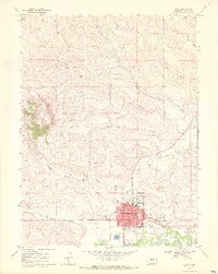
1969 Map of Craig
USGS Topo · Published 1972About this map
Craig serves as the focal point of this 1960s survey, illustrating a period of established civic infrastructure and emerging suburban-style development. The downtown grid is anchored by the Courthouse, Po, and Memorial Hospital, while the surrounding residential expansion includes the Sunset Sch and a dedicated Trailer Park. The transportation network is dominated by the east-west corridor of Victory Way and the industrial presence of the D & R G W railroad, which parallels the Yampa River south of town. Natural landmarks like Cedar Mountain and Pine Ridge frame the northern and western horizons, while the surrounding landscape is marked by a mix of agricultural and industrial utility, including the Craig Ditch, several Gas Wells, and the Fairground. Local recreational and service sites such as the Drive-in Theatre and the Cemetery reflect the mid-century social landscape of Moffat County.
Find a feature on this map
35 named features on this map. Tap any name to fly to it.
Don’t see what you’re looking for? This feature index may not catch every label — zoom into the map to look around manually.
Map Details
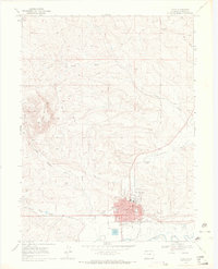
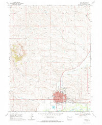
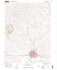
Editions of this 1969 Craig Map
4 editions found
Other maps of this area

1910 · Danforth Hills
USGS Topo · 1:125,000

1915 · Monument Butte
USGS Topo · 1:62,500

1916 · Craig
USGS Topo · 1:125,000

1916 · Daton Peak
USGS Topo · 1:62,500

1920 · Daton Peak
USGS Topo · 1:62,500

1923 · Elkhead Creek
USGS Topo · 1:62,500

1924 · Elkhead Creek
USGS Topo · 1:62,500

1954 · Craig
USGS Topo · 1:250,000

1957 · Craig
USGS Topo · 1:250,000

1958 · Craig
USGS Topo · 1:250,000