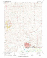
1969 Map of Craig
USGS Topo · Published 1985About this map
Craig serves as a hub of industry and civic life in Northwest Colorado, positioned where Fortification Creek meets the Yampa River. The town grid shows a concentration of essential institutions during the late 1960s, including the Courthouse, Post Office, and Memorial Hospital. Educational facilities are well-represented by Sunset School, Breeze School, and the County High School. Outside the central blocks, the landscape transitions into the steep slopes of Cedar Mountain and the distinct formation of Pine Ridge. The local economy is evidenced by infrastructure such as the Denver & Rio Grande Western Railroad, several Gravel Pits, and a network of pipelines and gas wells extending into the surrounding gulches. Cultural markers like the Fairground, Drive-in Theatre, and Cemetery anchor the community at the edge of the sagebrush-covered hills.
Find a feature on this map
33 named features on this map. Tap any name to fly to it.
Don’t see what you’re looking for? This feature index may not catch every label — zoom into the map to look around manually.
Map Details
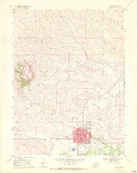
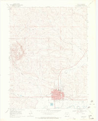
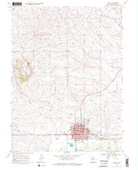
Editions of this 1969 Craig Map
4 editions found
Other maps of this area

1910 · Danforth Hills
USGS Topo · 1:125,000

1915 · Monument Butte
USGS Topo · 1:62,500

1916 · Craig
USGS Topo · 1:125,000

1916 · Daton Peak
USGS Topo · 1:62,500

1920 · Daton Peak
USGS Topo · 1:62,500

1923 · Elkhead Creek
USGS Topo · 1:62,500

1924 · Elkhead Creek
USGS Topo · 1:62,500

1954 · Craig
USGS Topo · 1:250,000

1957 · Craig
USGS Topo · 1:250,000

1958 · Craig
USGS Topo · 1:250,000