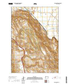
2020 Map of Craig Mountain
USGS Topo · Published 2020About this map
Grande Ronde Valley agriculture and the steep rise of Craig Mtn define this transition between the lowland plains and the high ridges of eastern Oregon. The settlement of Hot Lake sits at the northern base of the mountains, where the Hot Lake Reservoir and various water works indicate the importance of thermal and hydraulic resources to the local economy. To the east, the town of Union serves as a gateway where Catherine Creek and Pyles Cr flow out toward the valley floor.
Find a feature on this map
40 named features on this map. Tap any name to fly to it.
Don’t see what you’re looking for? This feature index may not catch every label — zoom into the map to look around manually.
Map Details
Editions of this 2020 Craig Mountain Map
This is the sole edition of this map. No revisions or reprints were ever made.
Other maps of this area

1906 · Telocaset
USGS Topo · 1:125,000

1953 · Pendleton
USGS Topo · 1:250,000

1955 · Grangeville
USGS Topo · 1:250,000

1956 · Pendleton
USGS Topo · 1:250,000

1959 · Grangeville
USGS Topo · 1:250,000

1963 · La Grande SE
USGS Topo · 1:24,000

1965 · Conley
USGS Topo · 1:24,000
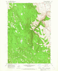
1965 · Glass Hill
USGS Topo · 1:24,000
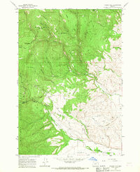
1965 · Tucker Flat
USGS Topo · 1:24,000

1965 · Union
USGS Topo · 1:24,000