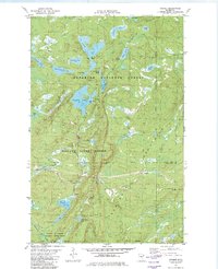
1981 Map of Cramer
USGS Topo · Published 1982About this map
The Sawtooth Mountains rise over this North Shore landscape, where industrial logging and mining history intersect with extensive conservation lands. The small settlement of Cramer and its associated benchmark, Cramer BM 1661, sit along a Mining Railroad that cuts through the southern half of the map. This rail corridor, along with several stretches of Old RR Grade and Old Railroad Grade, points to the region's past as a resource-extraction hub. Large-scale public lands dominate the topography, including segments of the Superior National Forest, Finland State Forest, and George H Crosby Manitou State Park. The drainage network is dense, defined by the Manitou River, Caribou River, and numerous backcountry water bodies like Ninemile Lake, Echo Lake, and Hare Lake. These features reveal a remote area managed for both timber and recreation during the early 1980s.
Find a feature on this map
43 named features on this map. Tap any name to fly to it.
Don’t see what you’re looking for? This feature index may not catch every label — zoom into the map to look around manually.
Map Details
Editions of this 1981 Cramer Map
2 editions found
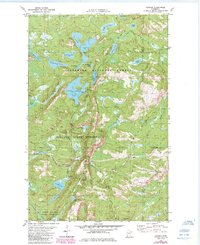
Other maps of this area

1954 · Two Harbors
USGS Topo · 1:250,000

1955 · Schroeder
USGS Topo · 1:24,000

1955 · Tofte
USGS Topo · 1:62,500

1955 · Cramer
USGS Topo · 1:62,500

1956 · Little Marais
USGS Topo · 1:24,000

1956 · Finland
USGS Topo · 1:24,000

1956 · Finland
USGS Topo · 1:62,500

1957 · Two Harbors
USGS Topo · 1:250,000

1958 · Two Harbors
USGS Topo · 1:250,000

1964 · Two Harbors
USGS Topo · 1:250,000