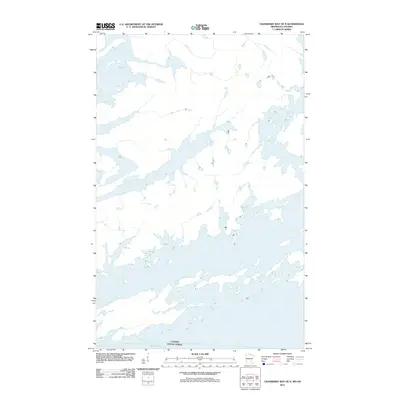
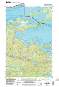
2011 Map of Cranberry Bay OE N
USGS Topo · Published 2011About this map
Rainy Lake dominates this northern landscape, its intricate shoreline of bays, peninsulas, and small islands defining the boundary between the United States and Canada. This 2011 survey, produced by the U. S. Geological Survey, focuses on the aquatic and wilderness interface where Minnesota meets Ontario. The map traces the international border as it winds through the open waters and narrow channels of the lake, illustrating the complex geography of this maritime frontier. Without roads or permanent settlements visible on this specific sheet, the focus remains entirely on the hydrography and the political division marked by Canada and the United States.
Find a feature on this map
2 named features on this map. Tap any name to fly to it.
Don’t see what you’re looking for? This feature index may not catch every label — zoom into the map to look around manually.
Map Details
Editions of this 2011 Cranberry Bay OE N Map
This is the sole edition of this map. No revisions or reprints were ever made.
Other maps of this area

1954 · International Falls
USGS Topo · 1:250,000

1957 · International Falls
USGS Topo · 1:250,000

1958 · International Falls
USGS Topo · 1:250,000

1968 · Soldier Point
USGS Topo · 1:24,000

1969 · Island View
USGS Topo · 1:24,000

1969 · Cranberry Bay
USGS Topo · 1:24,000
1978 · International Falls
USGS Topo · 1:100,000
1978 · Brule Narrows
USGS Topo · 1:100,000
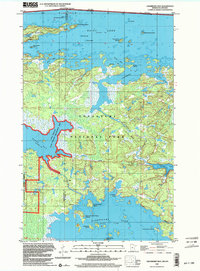
1999 · Cranberry Bay
USGS Topo · 1:24,000
1999 · Soldier Point
USGS Topo · 1:24,000