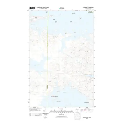
2013 Map of Cranberry Bay
USGS Topo · Published 2013About this map
Rainy Lake and Kabetogama Lake dominate this borderland landscape where Minnesota meets Ontario. The intricate shoreline is defined by a dense archipelago of named landforms, including Chief Wooden Frogs Islands, Rottenwood Island, and the distinctive Camel Back Island. A notable historical marker on the water is Cemetery Island, located south of the main channel.
Find a feature on this map
25 named features on this map. Tap any name to fly to it.
Don’t see what you’re looking for? This feature index may not catch every label — zoom into the map to look around manually.
Map Details
Editions of this 2013 Cranberry Bay Map
This is the sole edition of this map. No revisions or reprints were ever made.
Other maps of this area

1954 · International Falls
USGS Topo · 1:250,000

1957 · International Falls
USGS Topo · 1:250,000

1958 · International Falls
USGS Topo · 1:250,000

1968 · Soldier Point
USGS Topo · 1:24,000

1968 · Daley Bay
USGS Topo · 1:24,000

1969 · Island View
USGS Topo · 1:24,000

1969 · Ray
USGS Topo · 1:24,000

1969 · Cranberry Bay
USGS Topo · 1:24,000

1969 · Kabetogama
USGS Topo · 1:24,000
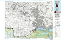
1978 · International Falls
USGS Topo · 1:100,000