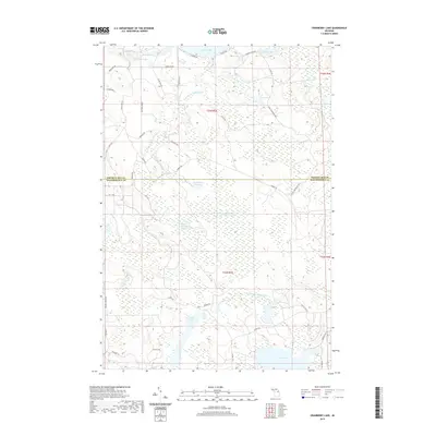
2019 Map of Cranberry Lake
USGS Topo · Published 2019About this map
The Presque Isle Co Montmorency Co line bisects this northern Michigan landscape, where a complex network of wetlands and river systems dominates the terrain. The central portion of the map is defined by the Rainy River Flooding and the headwaters of the W Br Upper Rainy River, creating a saturated environment characterized by numerous small lakes and marshy basins. The southern section transitions into the drainage of the N Br Thunder Bay River, connecting larger bodies of water like Rush Lake and Grass Lake.
Find a feature on this map
48 named features on this map. Tap any name to fly to it.
Don’t see what you’re looking for? This feature index may not catch every label — zoom into the map to look around manually.
Map Details
Editions of this 2019 Cranberry Lake Map
This is the sole edition of this map. No revisions or reprints were ever made.
Other maps of this area

1954 · Alpena
USGS Topo · 1:250,000

1955 · Atlanta
USGS Topo · 1:62,500

1955 · Hillman
USGS Topo · 1:62,500

1955 · Cheboygan
USGS Topo · 1:250,000

1957 · Alpena
USGS Topo · 1:250,000

1957 · Onaway
USGS Topo · 1:62,500

1958 · Cheboygan
USGS Topo · 1:250,000

1958 · Alpena
USGS Topo · 1:250,000

1969 · Alpena
USGS Topo · 1:250,000

1971 · Hawks
USGS Topo · 1:24,000
Featured Places
- Case Township, MI
- Montmorency Township, MI
- Bismarck Township, MI
- Allis Township, MI
- Presque Isle County, MI