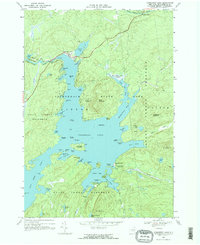
1968 Map of Cranberry Lake
USGS Topo · Published 1971About this map
Cranberry Lake dominates this 1968 landscape, serving as a central hub within the Adirondack State Park and the State Forest Preserve. The map documents the northern shoreline settlement of Cranberry Lake, where the Oswegatchie River exits and local landmarks like the Cranberry Lake Cem and several marinas are established. The intricate shoreline is defined by numerous family-named points and bays, such as Matilda Bay and Janacks Pt, alongside a complex archipelago including Joe Indian Island and Buck Island.
Find a feature on this map
85 named features on this map. Tap any name to fly to it.
Don’t see what you’re looking for? This feature index may not catch every label — zoom into the map to look around manually.
Map Details
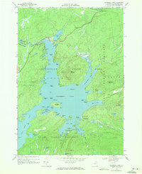
Editions of this 1968 Cranberry Lake Map
2 editions found
Other maps of this area

1907 · Tupper Lake
USGS Topo · 1:62,500

1919 · Cranberry Lake
USGS Topo · 1:62,500

1920 · Childwold
USGS Topo · 1:62,500

1921 · Cranberry Lake
USGS Topo · 1:62,500

1921 · Childwold
USGS Topo · 1:48,000

1921 · Stark
USGS Topo · 1:62,500

1922 · Childwold
USGS Topo · 1:62,500

1923 · Stark
USGS Topo · 1:62,500

1931 · Cranberry Lake
USGS Topo · 1:62,500

1940 · Stark
USGS Topo · 1:62,500