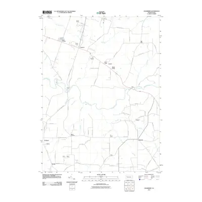
2010 Map of Cranberry
USGS Topo · Published 2010About this map
East Sandy Creek and its many tributaries, including Browns Run, Shannon Run, and Shaw Run, define the rolling drainage patterns of this Venango County landscape. The area is characterized by small, dispersed rural intersections and communities such as Nickleville, Van, and Cranberry. Historical family and community lineage is well-preserved through numerous burial grounds, ranging from Saint Catherines Cemetery near Twin Oaks to the Farren Cemetery and Bickle Cemetery further south. Local aviation is represented by Seneca Airport and Seneca Airpark in the north, while the Emlenton Spur indicates the path of regional rail transport. The map also records several named crossroads that likely served as local landmarks for generations, including Barrs Corners, Egypt Corners, and Ella Gardner Corners.
Find a feature on this map
85 named features on this map. Tap any name to fly to it.
Don’t see what you’re looking for? This feature index may not catch every label — zoom into the map to look around manually.
Map Details
Editions of this 2010 Cranberry Map
This is the sole edition of this map. No revisions or reprints were ever made.
Other maps of this area

1907 · Foxburg
USGS Topo · 1:62,500

1908 · Foxburg
USGS Topo · 1:62,500

1909 · Franklin
USGS Topo · 1:62,500

1910 · Hilliards
USGS Topo · 1:62,500

1911 · Franklin
USGS Topo · 1:62,500

1912 · Hilliards
USGS Topo · 1:62,500

1922 · Oil City
USGS Topo · 1:48,000

1924 · Oil City
USGS Topo · 1:62,500

1943 · Oil City
USGS Topo · 1:62,500

1944 · Hilliards
USGS Topo · 1:62,500
Featured Places
- Cranberry Township, PA
- Rockland Township, PA
- Maple Shade, Cranberry Township
- Barrs Corners, Rockland Township
- Hill City, Cranberry Township