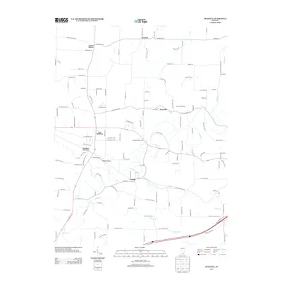
2013 Map of Crandall
USGS Topo · Published 2013About this map
Crandall and the surrounding Harrison County landscape are defined by a network of small settlements and meandering waterways in this 2013 topographic study. The area features a mix of rural community centers like New Salisbury, Byrneville, and Bradford, alongside rail-oriented locales such as Corydon Junction and Mott Station. The drainage pattern is dictated by the forks of Indian Cr, including its tributaries Crandall Br and Raccoon Br. The infrastructure of the era is evident in the transition from local routes like Old Highway 135 Ne to the presence of Byrne Field Airport. Researchers can trace old property alignments and local history through thoroughfares like Zoar Church RD Ne and Cemetery RD Ne, which suggest the locations of early community focal points within the township structure.
Find a feature on this map
124 named features on this map. Tap any name to fly to it.
Don’t see what you’re looking for? This feature index may not catch every label — zoom into the map to look around manually.
Map Details
Editions of this 2013 Crandall Map
This is the sole edition of this map. No revisions or reprints were ever made.
Other maps of this area

1909 · Kosmosdale
USGS Topo · 1:48,000

1912 · Kosmosdale
USGS Topo · 1:62,500

1931 · Corydon
USGS Topo · 1:62,500

1939 · Georgetown
USGS Topo · 1:24,000

1941 · Borden
USGS Topo · 1:24,000

1944 · Corydon West
USGS Topo · 1:24,000

1946 · Depauw
USGS Topo · 1:24,000

1947 · Georgetown
USGS Topo · 1:24,000

1947 · Corydon West
USGS Topo · 1:24,000

1948 · Corydon East
USGS Topo · 1:24,000